Area Overview for CV1 2HU
Photos of CV1 2HU
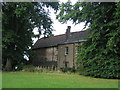
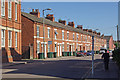
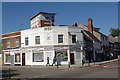
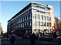
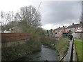
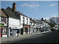
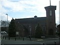
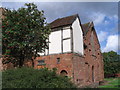
100 photos from this area
Area Information
Key information about the CV1 2HU including its size, population, and administrative classification.
- Area Type
- Postcode
- Area Size
- 4139 m²
- Population
- 1922
- Population Density
- 6709 people/km²
House Prices in CV1 2HU
34
Properties
£127,500
Average Sold Price
£30,500
Lowest Price
£300,000
Highest Price
Showing 34 properties
| Address | Type | Beds | Baths | Last Sale Price | Last Sale Date | |
|---|---|---|---|---|---|---|
| 41 Bramble Street, Coventry, CV1 2HU | house | - | - | £80,000 | Oct 2025 | |
| 29 Bramble Street, Coventry, CV1 2HU | Terraced | 3 | 2 | £185,000 | Jun 2022 | |
| 49 Bramble Street, Coventry, CV1 2HU | Terraced | 6 | 6 | £300,000 | Jan 2022 | |
| 57 Bramble Street, Coventry, CV1 2HU | Terraced | 3 | 1 | £150,000 | Sep 2020 | |
| 27 Bramble Street, Coventry, CV1 2HU | Terraced | 1 | 1 | £160,000 | Aug 2018 | |
| 33 Bramble Street, Coventry, CV1 2HU | Terraced | 2 | - | £130,000 | Feb 2016 | |
| 43 Bramble Street, Coventry, CV1 2HU | Terraced | 5 | 5 | £85,000 | Jan 2011 | |
| 51 Bramble Street, Coventry, CV1 2HU | Terraced | 1 | 1 | £100,000 | Aug 2010 | |
| 45 Bramble Street, Coventry, CV1 2HU | Terraced | 4 | 3 | £77,000 | Feb 2010 | |
| 19 Bramble Street, Coventry, CV1 2HU | Terraced | 4 | 2 | £105,000 | Jan 2004 |
Page 1 of 4
Energy Efficiency in CV1 2HU
Amenities
Schools
| Rank | School | Type | Entry gender | Ages |
|---|
Explore more schools in this area
Go to Schools tabDemographics
Household Size
One person
most common
Accommodation Type
Houses
most common
Tenure
11
majority
Ethnic Group
White
most common
Religion
N/A
most common
Household Composition
N/A
most common
Age
22
median
Young Adults (15-29 years)
most common
Household Deprivation
N/A
with no deprivation
NS-SEC
5
in Lower managerial occupations
Explore more demographic insights in this area
Go to Demographics tabPlanning
Planning Constraints
- Flood RiskPremium
- Ramsar Wetland SitesPremium
- Area of Outstanding Natural BeautyPremium
- Protected Nature ReservePremium
- Protected WoodlandPremium