Area Overview for Cheswick Green
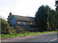
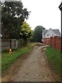
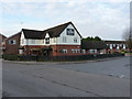
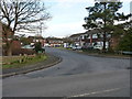
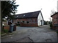
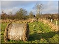
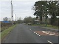
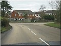
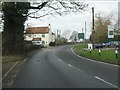
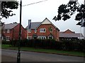
Photos of Cheswick Green


Area Information
Cheswick Green is a compact built-up area spanning 62.1 hectares, nestled in England. Its character is defined by a mature population, with a median age of 70, reflecting a community rooted in long-term residency. The area’s appeal lies in its blend of practicality and accessibility, with essential amenities within reach. Residents benefit from strong digital connectivity, with broadband scores rated excellent and mobile coverage good, supporting both daily use and remote work. Nearby, five retail outlets including Co-op Blythe and Tesco Shirley provide convenience, while rail stations like Whitlocks End and Lakes offer links to wider networks. The presence of Cheswick Green Primary School, rated good by Ofsted, ensures families have access to quality education. With 81% home ownership, the area fosters a sense of stability, though its older demographic may mean a quieter, more established atmosphere. For those seeking a low-crime, well-connected environment with essential services, Cheswick Green offers a straightforward, no-frills living experience.
- Area Type
- Built Up Area 250
- Area Size
- 62.1 hectares
- Population
- Not available
- Population Density
- Not available
Cheswick Green’s lifestyle is shaped by its proximity to essential amenities. Five retail outlets, including Co-op Blythe and Tesco Shirley, provide everyday shopping convenience, while the area’s rail stations offer links to nearby towns and cities. The inclusion of Birmingham International Airport and the Birmingham Intl Railway Station adds to the area’s connectivity, supporting both travel and commuting needs. Though the data does not mention parks or leisure facilities, the availability of retail and transport options suggests a practical, service-oriented daily life. Residents can access a range of necessities without long journeys, making the area suitable for those prioritising convenience over expansive leisure options.
Amenities
Schools
Cheswick Green Primary School is the sole school listed in the data, catering to primary education with a good Ofsted rating. This school serves the local community, providing a foundation for young families. The absence of secondary schools or other educational institutions in the data means the area’s school options are limited to primary education. Families relying on this school may need to consider commuting for secondary education, though the good rating suggests a reliable standard of teaching. The single school in the area reflects the community’s smaller scale, where education is closely tied to local infrastructure.
| Rank | A + A* % | School | Type | Entry gender | Ages |
|---|---|---|---|---|---|
| 1 | N/A | Cheswick Green Primary School | primary | N/A | N/A |
Explore more schools in this area
Go to Schools tabDemographics
Cheswick Green’s population is predominantly older, with a median age of 70, suggesting a community where many residents have lived for decades. The home ownership rate stands at 81%, indicating a strong preference for long-term residency over rental properties. While the data does not specify household composition or accommodation types, the high ownership percentage implies a stable, settled population. The absence of detailed breakdowns on diversity or deprivation means the area’s social fabric remains less defined in the data, but the age profile hints at a need for healthcare and community services tailored to older adults. The area’s demographics suggest a quieter, more insular environment, where daily life revolves around familiar routines and local amenities.
Household Size
Accommodation Type
Tenure
Ethnic Group
Religion
Household Composition
Age
Household Deprivation
NS-SEC
Explore more demographic insights in this area
Go to Demographics tabPlanning
Planning Constraints
- Crime RiskLocked