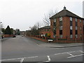
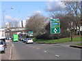
Area Overview for Bordesley & Highgate Ward
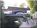
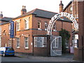
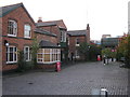
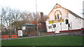
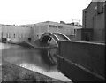
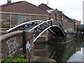
Photos of Bordesley & Highgate Ward
Area Information
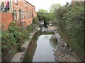
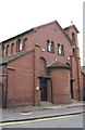
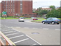
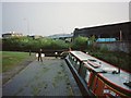
Living in Bordesley & Highgate Ward means residing in a compact urban district of just 3.9 km² located immediately east of Birmingham city centre. This electoral ward, formed on 1 December 2017, encompasses the historic areas of Highgate, Bordesley, Digbeth, and Deritend. You are stepping into one of Birmingham's oldest neighbourhoods, situated within the Birmingham Ladywood UK Parliament constituency. The population here stands at 1,051 people, creating a relatively small-scale community despite its central location. The area derives its name from Old English meaning 'Bord's clearing', indicating agricultural origins dating back to the 7th century. While the manor passed through feudal hands since 850, Bordesley became a bedroom suburb by 1838. Today, the ward includes significant industrial history, such as the former Artillery Street Paint and Varnish Works established in 1910. You will find yourself near Garrison Lane School, which operated from 1873 until 1959, and the historic Ada Street Board School. Modern life here balances proximity to the city's core with a strong connection to deep-rooted local heritage and manufacturing roots. The ward serves as an integral part of the council's borough unitary structure, offering residents direct access to urban facilities while maintaining distinct residential character.
- Area Type
- District Borough Unitary Ward
- Area Size
- 3.9 km²
- Population
- 1051
- Population Density
- 268 people/km²
Demographics
The community profile of Bordesley & Highgate Ward is defined by a distinctly older population. The median age here reaches 70 years, indicating a neighbourhood populated largely by seniors. You are likely to encounter residents drawn from all age ranges, yet the demographic skew is heavily weighted toward retirement. With only 1,051 residents spread across 3.9 km², the population density calculates to 268 people per square kilometre. This figure suggests a moderately populated urban environment rather than a high-density city core. Home ownership presents a notable statistic for the area. Just 24% of households in Bordesley & Highgate Ward own their homes outright or with a mortgage. This low figure implies that the majority of residents live in rented accommodation or housing returns. While specific data on household composition and predominant ethnic groups are not detailed in current records, the age profile strongly suggests a quiet, settled demographic. The area does not host the typical family-centric age structure found in outer suburbs. Instead, the social fabric revolves around an older cohort. Buyers seeking properties should expect a community where retirement and long-term tenancy dominate the social landscape, rather than transient family life or young professional enclaves.
Household Size
Accommodation Type
Tenure
Ethnic Group
Religion
Household Composition
Age
Household Deprivation
NS-SEC
Explore more demographic insights in this area
Go to Demographics tabPlanning
Planning Constraints
- Flood RiskPremium
- Ramsar Wetland SitesPremium
- Area of Outstanding Natural BeautyPremium
- Protected Nature ReservePremium
- Protected WoodlandPremium
- Crime RiskPremium