Area Overview for B98 9LS
Photos of B98 9LS
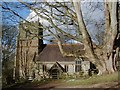
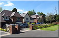
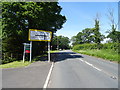
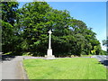
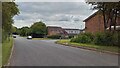
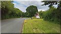
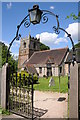
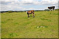

14 photos from this area
Area Information
Key information about the B98 9LS including its size, population, and administrative classification.
- Area Type
- Postcode
- Area Size
- 2.8 hectares
- Population
- 1310
- Population Density
- 1798 people/km²
House Prices in B98 9LS
54
Properties
£247,519
Average Sold Price
£99,950
Lowest Price
£430,000
Highest Price
Showing 54 properties
| Address | Type | Beds | Baths | Last Sale Price | Last Sale Date | |
|---|---|---|---|---|---|---|
| 51 Jersey Close, Redditch, B98 9LS | Detached | 4 | 2 | £357,000 | Jul 2025 | |
| 23 Jersey Close, Redditch, B98 9LS | Detached | 4 | 3 | £380,000 | Sep 2024 | |
| 31 Jersey Close, Redditch, B98 9LS | Detached | 3 | 1 | £300,000 | Jan 2024 | |
| 19 Jersey Close, Redditch, B98 9LS | Detached | 4 | 2 | £430,000 | Jun 2023 | |
| 2 Jersey Close, Redditch, B98 9LS | Detached | 3 | 1 | £305,000 | Apr 2023 | |
| 28 Jersey Close, Redditch, B98 9LS | Detached | 4 | - | £355,000 | Sep 2018 | |
| 1 Jersey Close, Redditch, B98 9LS | Detached | 4 | 1 | £321,500 | Jan 2018 | |
| 15 Jersey Close, Redditch, B98 9LS | house | - | - | £294,000 | Dec 2017 | |
| 25 Jersey Close, Redditch, B98 9LS | Detached | 4 | 2 | £291,000 | Dec 2016 | |
| 52 Jersey Close, Redditch, B98 9LS | Detached | 4 | 1 | £252,000 | Jun 2016 |
Page 1 of 6
Energy Efficiency in B98 9LS
Amenities
Schools
| Rank | School | Type | Entry gender | Ages |
|---|
Explore more schools in this area
Go to Schools tabDemographics
Household Size
Two person
most common
Accommodation Type
Houses
most common
Tenure
94
majority
Ethnic Group
White
most common
Religion
N/A
most common
Household Composition
N/A
most common
Age
47
median
Adults (30-64 years)
most common
Household Deprivation
N/A
with no deprivation
NS-SEC
42
in Lower managerial occupations
Explore more demographic insights in this area
Go to Demographics tabPlanning
Planning Constraints
- Flood RiskPremium
- Ramsar Wetland SitesPremium
- Area of Outstanding Natural BeautyPremium
- Protected Nature ReservePremium
- Protected WoodlandPremium