Area Overview for B98 9AE
Photos of B98 9AE
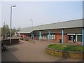
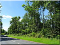
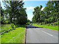
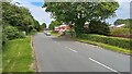
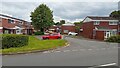
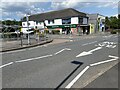
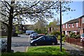
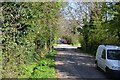
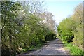
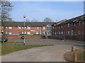
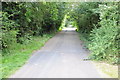
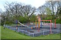
16 photos from this area
Area Information
Key information about the B98 9AE including its size, population, and administrative classification.
- Area Type
- Postcode
- Area Size
- 1.8 hectares
- Population
- 1464
- Population Density
- 5328 people/km²
House Prices in B98 9AE
54
Properties
£150,426
Average Sold Price
£49,000
Lowest Price
£283,000
Highest Price
Showing 54 properties
| Address | Type | Beds | Baths | Last Sale Price | Last Sale Date | |
|---|---|---|---|---|---|---|
| 3 Redstone Close, Redditch, B98 9AE | Semi-detached | 3 | 1 | £270,000 | Jun 2024 | |
| 21 Redstone Close, Redditch, B98 9AE | Semi-detached | 3 | 1 | £280,100 | Aug 2023 | |
| 17 Redstone Close, Redditch, B98 9AE | Semi-detached | 3 | 1 | £270,000 | Mar 2023 | |
| 46 Redstone Close, Redditch, B98 9AE | Semi-detached | 2 | 1 | £213,575 | Mar 2023 | |
| 18 Redstone Close, Redditch, B98 9AE | Retail | 3 | 1 | £283,000 | Dec 2022 | |
| 44 Redstone Close, Redditch, B98 9AE | Semi-detached | 4 | 1 | £242,000 | Aug 2021 | |
| 35 Redstone Close, Redditch, B98 9AE | house | - | - | £220,000 | Mar 2021 | |
| 16 Redstone Close, Redditch, B98 9AE | Semi-detached | 3 | 1 | £210,000 | Dec 2020 | |
| 50 Redstone Close, Redditch, B98 9AE | Semi-detached | 2 | - | £194,000 | Nov 2020 | |
| 8 Redstone Close, Redditch, B98 9AE | Semi-detached | 3 | 1 | £200,000 | Jul 2020 |
Page 1 of 6
Energy Efficiency in B98 9AE
Amenities
Schools
| Rank | School | Type | Entry gender | Ages |
|---|
Explore more schools in this area
Go to Schools tabDemographics
Household Size
Two person
most common
Accommodation Type
Houses
most common
Tenure
64
majority
Ethnic Group
White
most common
Religion
N/A
most common
Household Composition
N/A
most common
Age
47
median
Adults (30-64 years)
most common
Household Deprivation
N/A
with no deprivation
NS-SEC
28
in Lower managerial occupations
Explore more demographic insights in this area
Go to Demographics tabPlanning
Planning Constraints
- Flood RiskPremium
- Ramsar Wetland SitesPremium
- Area of Outstanding Natural BeautyPremium
- Protected Nature ReservePremium
- Protected WoodlandPremium