Area Overview for B98 8QN
Photos of B98 8QN
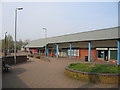
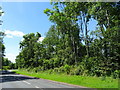
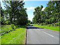
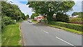
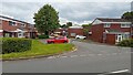
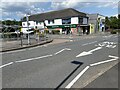
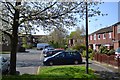
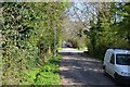
16 photos from this area
Area Information
Key information about the B98 8QN including its size, population, and administrative classification.
- Area Type
- Postcode
- Area Size
- 1.5 hectares
- Population
- 1536
- Population Density
- 7181 people/km²
House Prices in B98 8QN
44
Properties
£116,768
Average Sold Price
£46,000
Lowest Price
£215,000
Highest Price
Showing 44 properties
| Address | Type | Beds | Baths | Last Sale Price | Last Sale Date | |
|---|---|---|---|---|---|---|
| 58 Heronfield Close, Redditch, B98 8QN | Maisonette | 1 | 1 | £108,000 | Aug 2024 | |
| 67 Heronfield Close, Redditch, B98 8QN | house | - | - | £215,000 | Sep 2022 | |
| 49 Heronfield Close, Redditch, B98 8QN | Terraced | 3 | 1 | £166,000 | Jul 2020 | |
| 54 Heronfield Close, Redditch, B98 8QN | Terraced | 3 | - | £163,000 | Oct 2019 | |
| 59 Heronfield Close, Redditch, B98 8QN | Terraced | 3 | 1 | £167,500 | Nov 2018 | |
| 77 Heronfield Close, Redditch, B98 8QN | Semi-detached | 3 | - | £171,500 | Jul 2018 | |
| 86 Heronfield Close, Redditch, B98 8QN | Maisonette | 1 | 1 | £105,000 | Feb 2018 | |
| 80 Heronfield Close, Redditch, B98 8QN | Flat | - | - | £77,500 | Dec 2016 | |
| 51 Heronfield Close, Redditch, B98 8QN | Terraced | 3 | 1 | £149,000 | Aug 2016 | |
| 90 Heronfield Close, Redditch, B98 8QN | Terraced | 2 | 1 | £115,000 | Oct 2015 |
Page 1 of 5
Energy Efficiency in B98 8QN
Amenities
Schools
| Rank | School | Type | Entry gender | Ages |
|---|
Explore more schools in this area
Go to Schools tabDemographics
Household Size
One person
most common
Accommodation Type
Houses
most common
Tenure
27
majority
Ethnic Group
White
most common
Religion
N/A
most common
Household Composition
N/A
most common
Age
47
median
Adults (30-64 years)
most common
Household Deprivation
N/A
with no deprivation
NS-SEC
16
in Lower managerial occupations
Explore more demographic insights in this area
Go to Demographics tabPlanning
Planning Constraints
- Flood RiskPremium
- Ramsar Wetland SitesPremium
- Area of Outstanding Natural BeautyPremium
- Protected Nature ReservePremium
- Protected WoodlandPremium