Area Overview for B98 8QD
Photos of B98 8QD
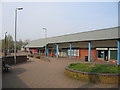
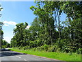
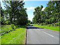
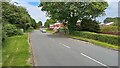
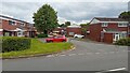
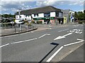
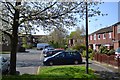
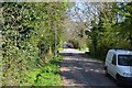
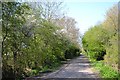
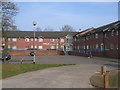
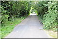
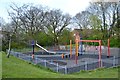
16 photos from this area
Area Information
Key information about the B98 8QD including its size, population, and administrative classification.
- Area Type
- Postcode
- Area Size
- 1.7 hectares
- Population
- 1244
- Population Density
- 5117 people/km²
House Prices in B98 8QD
53
Properties
£147,871
Average Sold Price
£42,950
Lowest Price
£230,000
Highest Price
Showing 53 properties
| Address | Type | Beds | Baths | Last Sale Price | Last Sale Date | |
|---|---|---|---|---|---|---|
| 36 Donnington Close, Redditch, B98 8QD | Semi-detached | 2 | 1 | £184,820 | Feb 2025 | |
| 38 Donnington Close, Redditch, B98 8QD | Semi-detached | 2 | 1 | £200,000 | Apr 2024 | |
| 54 Donnington Close, Redditch, B98 8QD | house | - | - | £197,500 | Jan 2023 | |
| 18 Donnington Close, Redditch, B98 8QD | house | - | - | £210,000 | Aug 2021 | |
| 50 Donnington Close, Redditch, B98 8QD | house | - | - | £195,000 | May 2021 | |
| 11 Donnington Close, Redditch, B98 8QD | Detached | 3 | 1 | £220,000 | Apr 2021 | |
| 14 Donnington Close, Redditch, B98 8QD | house | - | - | £230,000 | Mar 2021 | |
| 8 Donnington Close, Redditch, B98 8QD | house | - | - | £206,000 | Dec 2020 | |
| 53 Donnington Close, Redditch, B98 8QD | Semi-detached | 2 | 1 | £195,000 | Dec 2020 | |
| 40 Donnington Close, Redditch, B98 8QD | Semi-detached | 2 | 1 | £162,000 | Jul 2020 |
Page 1 of 6
Energy Efficiency in B98 8QD
Amenities
Schools
| Rank | School | Type | Entry gender | Ages |
|---|
Explore more schools in this area
Go to Schools tabDemographics
Household Size
Family (3-5 people)
most common
Accommodation Type
Houses
most common
Tenure
46
majority
Ethnic Group
White
most common
Religion
N/A
most common
Household Composition
N/A
most common
Age
47
median
Adults (30-64 years)
most common
Household Deprivation
N/A
with no deprivation
NS-SEC
20
in Lower managerial occupations
Explore more demographic insights in this area
Go to Demographics tabPlanning
Planning Constraints
- Flood RiskPremium
- Ramsar Wetland SitesPremium
- Area of Outstanding Natural BeautyPremium
- Protected Nature ReservePremium
- Protected WoodlandPremium