Area Overview for B98 7DU
Photos of B98 7DU
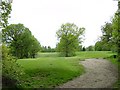
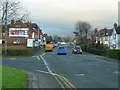
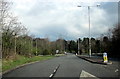
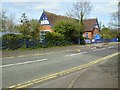
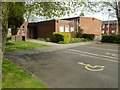
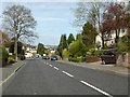
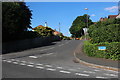
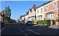
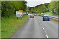
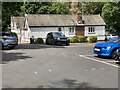
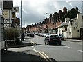
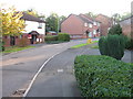
53 photos from this area
Area Information
Key information about the B98 7DU including its size, population, and administrative classification.
- Area Type
- Postcode
- Area Size
- 9728 m²
- Population
- Not available
- Population Density
- Not available
House Prices in B98 7DU
26
Properties
£196,722
Average Sold Price
£72,500
Lowest Price
£385,000
Highest Price
Showing 26 properties
| Address | Type | Beds | Baths | Last Sale Price | Last Sale Date | |
|---|---|---|---|---|---|---|
| 8 The Mayfields, Redditch, B98 7DU | Bungalow | 3 | 2 | £295,000 | Sep 2023 | |
| 5A The Mayfields, Redditch, B98 7DU | Terraced | 2 | 1 | £207,000 | Mar 2023 | |
| Lindridge, The Mayfields, Redditch, B98 7DU | Detached | 3 | 1 | £385,000 | Mar 2022 | |
| 7 The Mayfields, Redditch, B98 7DU | Terraced | 2 | 1 | £168,000 | Feb 2018 | |
| 6 The Mayfields, Redditch, B98 7DU | house | 3 | - | £200,000 | Sep 2012 | |
| Hillside House, 1 The Mayfields, Redditch, B98 7DU | house | - | - | £198,000 | Aug 2007 | |
| Carantec, The Mayfields, Redditch, B98 7DU | Bungalow | 3 | 1 | £145,000 | Dec 2002 | |
| 5 The Mayfields, Redditch, B98 7DU | house | - | - | £72,500 | Jul 2000 | |
| 3 The Mayfields, Redditch, B98 7DU | Detached | - | - | £100,000 | May 2000 | |
| Flat 2, Newall House, The Mayfields, Redditch, B98 7DU | Flat | 2 | 1 | - | - |
Page 1 of 3
Energy Efficiency in B98 7DU
Amenities
Schools
| Rank | School | Type | Entry gender | Ages |
|---|
Explore more schools in this area
Go to Schools tabDemographics
Household Size
One person
most common
Accommodation Type
Houses
most common
Tenure
43
majority
Ethnic Group
White
most common
Religion
N/A
most common
Household Composition
N/A
most common
Age
47
median
Adults (30-64 years)
most common
Household Deprivation
N/A
with no deprivation
NS-SEC
21
in Lower managerial occupations
Explore more demographic insights in this area
Go to Demographics tabPlanning
Planning Constraints
- Flood RiskPremium
- Ramsar Wetland SitesPremium
- Area of Outstanding Natural BeautyPremium
- Protected Nature ReservePremium
- Protected WoodlandPremium