Area Overview for B98 0QQ
Photos of B98 0QQ
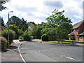
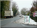
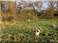
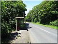
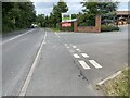
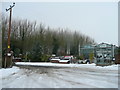
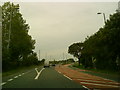
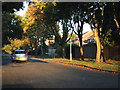
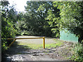
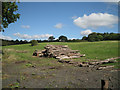
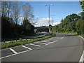
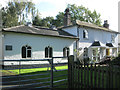
21 photos from this area
Area Information
Key information about the B98 0QQ including its size, population, and administrative classification.
- Area Type
- Postcode
- Area Size
- 2.8 hectares
- Population
- 1462
- Population Density
- 3813 people/km²
House Prices in B98 0QQ
61
Properties
£205,606
Average Sold Price
£3,080
Lowest Price
£350,000
Highest Price
Showing 61 properties
| Address | Type | Beds | Baths | Last Sale Price | Last Sale Date | |
|---|---|---|---|---|---|---|
| 96 Cheswick Close, Redditch, B98 0QQ | Semi-detached | 4 | 1 | £350,000 | Oct 2025 | |
| 55 Cheswick Close, Redditch, B98 0QQ | Detached | 3 | 1 | £235,000 | May 2025 | |
| 48 Cheswick Close, Redditch, B98 0QQ | Semi-detached | 3 | 1 | £248,500 | Jun 2024 | |
| 74 Cheswick Close, Redditch, B98 0QQ | Semi-detached | 4 | 2 | £315,000 | Aug 2023 | |
| 78 Cheswick Close, Redditch, B98 0QQ | Semi-detached | 3 | 1 | £250,000 | May 2023 | |
| 82 Cheswick Close, Redditch, B98 0QQ | Semi-detached | 3 | 1 | £305,000 | Mar 2023 | |
| 91 Cheswick Close, Redditch, B98 0QQ | Retail | 3 | 1 | £270,000 | Aug 2022 | |
| 94 Cheswick Close, Redditch, B98 0QQ | Semi-detached | 3 | 1 | £258,000 | Feb 2022 | |
| 75 Cheswick Close, Redditch, B98 0QQ | house | - | - | £257,000 | Sep 2021 | |
| 62 Cheswick Close, Redditch, B98 0QQ | Semi-detached | 3 | - | £253,000 | Sep 2021 |
Page 1 of 7
Energy Efficiency in B98 0QQ
Amenities
Schools
| Rank | School | Type | Entry gender | Ages |
|---|
Explore more schools in this area
Go to Schools tabDemographics
Household Size
Two person
most common
Accommodation Type
Houses
most common
Tenure
88
majority
Ethnic Group
White
most common
Religion
N/A
most common
Household Composition
N/A
most common
Age
47
median
Adults (30-64 years)
most common
Household Deprivation
N/A
with no deprivation
NS-SEC
33
in Lower managerial occupations
Explore more demographic insights in this area
Go to Demographics tabPlanning
Planning Constraints
- Flood RiskPremium
- Ramsar Wetland SitesPremium
- Area of Outstanding Natural BeautyPremium
- Protected Nature ReservePremium
- Protected WoodlandPremium