Area Overview for B97 6TJ
Photos of B97 6TJ
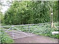


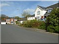
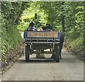
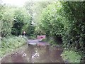
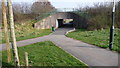
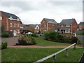
14 photos from this area
Area Information
Key information about the B97 6TJ including its size, population, and administrative classification.
- Area Type
- Postcode
- Area Size
- 1.2 hectares
- Population
- 1148
- Population Density
- 5825 people/km²
House Prices in B97 6TJ
18
Properties
£229,143
Average Sold Price
£113,750
Lowest Price
£420,000
Highest Price
Showing 18 properties
| Address | Type | Beds | Baths | Last Sale Price | Last Sale Date | |
|---|---|---|---|---|---|---|
| 20 Aldermans Lane, Redditch, B97 6TJ | Detached | 4 | 2 | £395,000 | Jun 2024 | |
| 9 Aldermans Lane, Redditch, B97 6TJ | Detached | 4 | - | £402,500 | Aug 2023 | |
| 22 Aldermans Lane, Redditch, B97 6TJ | Detached | 4 | - | £337,500 | Apr 2021 | |
| 12 Aldermans Lane, Redditch, B97 6TJ | Detached | 5 | 3 | £420,000 | Aug 2019 | |
| 18 Aldermans Lane, Redditch, B97 6TJ | house | - | - | £173,333 | Jul 2015 | |
| 14 Aldermans Lane, Redditch, B97 6TJ | Detached | - | - | £260,000 | Jul 2012 | |
| 10 Aldermans Lane, Redditch, B97 6TJ | house | - | - | £270,000 | Apr 2012 | |
| 2 Aldermans Lane, Redditch, B97 6TJ | Detached | - | - | £272,500 | Jun 2008 | |
| 6 Aldermans Lane, Redditch, B97 6TJ | house | - | - | £197,500 | May 2002 | |
| 11 Aldermans Lane, Redditch, B97 6TJ | Detached | 4 | 2 | £124,000 | Feb 2002 |
Page 1 of 2
Energy Efficiency in B97 6TJ
Amenities
Schools
| Rank | School | Type | Entry gender | Ages |
|---|
Explore more schools in this area
Go to Schools tabDemographics
Household Size
Two person
most common
Accommodation Type
Houses
most common
Tenure
82
majority
Ethnic Group
White
most common
Religion
N/A
most common
Household Composition
N/A
most common
Age
47
median
Adults (30-64 years)
most common
Household Deprivation
N/A
with no deprivation
NS-SEC
42
in Lower managerial occupations
Explore more demographic insights in this area
Go to Demographics tabPlanning
Planning Constraints
- Flood RiskPremium
- Ramsar Wetland SitesPremium
- Area of Outstanding Natural BeautyPremium
- Protected Nature ReservePremium
- Protected WoodlandPremium