Area Overview for B97 6HS
Photos of B97 6HS
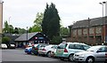
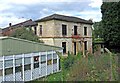
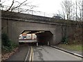
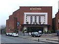
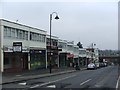
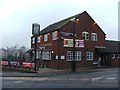
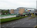
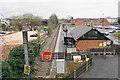
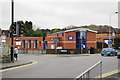
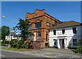
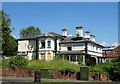
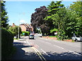
64 photos from this area
Area Information
Key information about the B97 6HS including its size, population, and administrative classification.
- Area Type
- Postcode
- Area Size
- 1.3 hectares
- Population
- 1897
- Population Density
- 5597 people/km²
House Prices in B97 6HS
21
Properties
£109,125
Average Sold Price
£80,000
Lowest Price
£160,000
Highest Price
Showing 21 properties
| Address | Type | Beds | Baths | Last Sale Price | Last Sale Date | |
|---|---|---|---|---|---|---|
| 66 Bridley Moor Road, Redditch, B97 6HS | Maisonette | 2 | 1 | £160,000 | Dec 2025 | |
| 48 Bridley Moor Road, Redditch, B97 6HS | Maisonette | 2 | 1 | £115,000 | Aug 2020 | |
| 74 Bridley Moor Road, Redditch, B97 6HS | Flat | - | - | £130,000 | May 2016 | |
| 38 Bridley Moor Road, Redditch, B97 6HS | Maisonette | - | - | £110,000 | Jan 2008 | |
| 70 Bridley Moor Road, Redditch, B97 6HS | Maisonette | - | - | £107,000 | May 2007 | |
| 64 Bridley Moor Road, Redditch, B97 6HS | Flat | - | - | £82,000 | Aug 2005 | |
| 68 Bridley Moor Road, Redditch, B97 6HS | Flat | - | - | £89,000 | Mar 2005 | |
| 52 Bridley Moor Road, Redditch, B97 6HS | Retail | 2 | 1 | £80,000 | Apr 2004 | |
| Flat At, Bridley Moor And Batchley Social Club, Bridley Moor Road, Redditch, B97 6HS | Flat | - | - | - | - | |
| 60 Bridley Moor Road, Redditch, B97 6HS | Maisonette | - | - | - | - |
Page 1 of 3
Energy Efficiency in B97 6HS
Amenities
Schools
| Rank | School | Type | Entry gender | Ages |
|---|
Explore more schools in this area
Go to Schools tabDemographics
Household Size
One person
most common
Accommodation Type
Houses
most common
Tenure
41
majority
Ethnic Group
White
most common
Religion
N/A
most common
Household Composition
N/A
most common
Age
47
median
Adults (30-64 years)
most common
Household Deprivation
N/A
with no deprivation
NS-SEC
19
in Lower managerial occupations
Explore more demographic insights in this area
Go to Demographics tabPlanning
Planning Constraints
- Flood RiskPremium
- Ramsar Wetland SitesPremium
- Area of Outstanding Natural BeautyPremium
- Protected Nature ReservePremium
- Protected WoodlandPremium