Area Overview for B97 5NS
Photos of B97 5NS
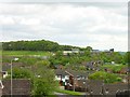
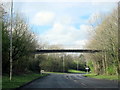
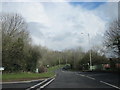
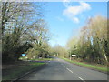
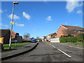


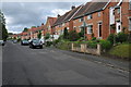
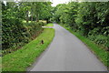
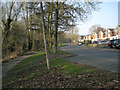
17 photos from this area
Area Information
Key information about the B97 5NS including its size, population, and administrative classification.
- Area Type
- Postcode
- Area Size
- 1.7 hectares
- Population
- 1368
- Population Density
- 4639 people/km²
House Prices in B97 5NS
22
Properties
£284,438
Average Sold Price
£167,000
Lowest Price
£435,000
Highest Price
Showing 22 properties
| Address | Type | Beds | Baths | Last Sale Price | Last Sale Date | |
|---|---|---|---|---|---|---|
| 167 Walkwood Road, Redditch, B97 5NS | house | 5 | 3 | £425,000 | Jan 2025 | |
| 178 Walkwood Road, Redditch, B97 5NS | Detached | 3 | 1 | £307,000 | Jul 2024 | |
| 172 Walkwood Road, Redditch, B97 5NS | Detached | 3 | 1 | £324,000 | Jan 2024 | |
| 166 Walkwood Road, Redditch, B97 5NS | Detached | 5 | 2 | £395,000 | Jul 2023 | |
| 168 Walkwood Road, Redditch, B97 5NS | house | - | - | £310,000 | Sep 2021 | |
| 160 Walkwood Road, Redditch, B97 5NS | house | - | - | £435,000 | Nov 2020 | |
| 165 Walkwood Road, Redditch, B97 5NS | Detached | 2 | 1 | £187,250 | Feb 2018 | |
| 176 Walkwood Road, Redditch, B97 5NS | Detached | 3 | 1 | £252,500 | Jun 2017 | |
| 193 Walkwood Road, Redditch, B97 5NS | Detached | 3 | 1 | £230,000 | Oct 2014 | |
| 158 Walkwood Road, Redditch, B97 5NS | house | - | - | £280,000 | Nov 2013 |
Page 1 of 3
Energy Efficiency in B97 5NS
Amenities
Schools
| Rank | School | Type | Entry gender | Ages |
|---|
Explore more schools in this area
Go to Schools tabDemographics
Household Size
Two person
most common
Accommodation Type
Houses
most common
Tenure
89
majority
Ethnic Group
White
most common
Religion
N/A
most common
Household Composition
N/A
most common
Age
47
median
Adults (30-64 years)
most common
Household Deprivation
N/A
with no deprivation
NS-SEC
39
in Lower managerial occupations
Explore more demographic insights in this area
Go to Demographics tabPlanning
Planning Constraints
- Flood RiskPremium
- Ramsar Wetland SitesPremium
- Area of Outstanding Natural BeautyPremium
- Protected Nature ReservePremium
- Protected WoodlandPremium