Area Overview for B97 5LD
Photos of B97 5LD
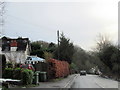
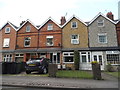
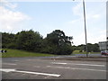
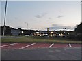
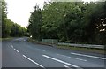
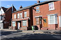
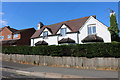
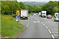
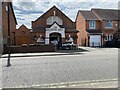
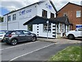
22 photos from this area
Area Information
Key information about the B97 5LD including its size, population, and administrative classification.
- Area Type
- Postcode
- Area Size
- 1.4 hectares
- Population
- 1370
- Population Density
- 4448 people/km²
House Prices in B97 5LD
34
Properties
£142,071
Average Sold Price
£68,000
Lowest Price
£240,000
Highest Price
Showing 34 properties
| Address | Type | Beds | Baths | Last Sale Price | Last Sale Date | |
|---|---|---|---|---|---|---|
| 50 Crabbs Cross Lane, Redditch, B97 5LD | house | 3 | 1 | £240,000 | Sep 2022 | |
| 68A Crabbs Cross Lane, Redditch, B97 5LD | Maisonette | - | - | £104,000 | Feb 2018 | |
| 52 Crabbs Cross Lane, Redditch, B97 5LD | Semi-detached | 3 | 1 | £192,500 | Aug 2015 | |
| 62 Crabbs Cross Lane, Redditch, B97 5LD | Terraced | - | - | £185,000 | Nov 2007 | |
| 60 Crabbs Cross Lane, Redditch, B97 5LD | Terraced | - | - | £109,995 | Jun 2002 | |
| 48 Crabbs Cross Lane, Redditch, B97 5LD | house | - | - | £95,000 | Apr 2001 | |
| 56 Crabbs Cross Lane, Redditch, B97 5LD | Terraced | - | - | £68,000 | Oct 1997 | |
| 17 Crabbs Cross Lane, Redditch, B97 5LD | Detached | 6 | 2 | - | - | |
| Flat, 16 Crabbs Cross Lane, Redditch, B97 5LD | Flat | - | - | - | - | |
| Flat Above, 68 Crabbs Cross Lane, Redditch, B97 5LD | Flat | - | - | - | - |
Page 1 of 4
Energy Efficiency in B97 5LD
Amenities
Schools
| Rank | School | Type | Entry gender | Ages |
|---|
Explore more schools in this area
Go to Schools tabDemographics
Household Size
One person
most common
Accommodation Type
Houses
most common
Tenure
64
majority
Ethnic Group
White
most common
Religion
N/A
most common
Household Composition
N/A
most common
Age
47
median
Adults (30-64 years)
most common
Household Deprivation
N/A
with no deprivation
NS-SEC
30
in Lower managerial occupations
Explore more demographic insights in this area
Go to Demographics tabPlanning
Planning Constraints
- Flood RiskPremium
- Ramsar Wetland SitesPremium
- Area of Outstanding Natural BeautyPremium
- Protected Nature ReservePremium
- Protected WoodlandPremium