Area Overview for B97 5EY
Photos of B97 5EY
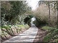
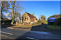
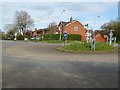
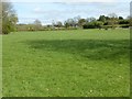
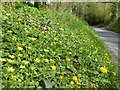
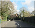
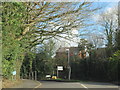
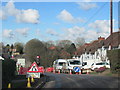
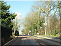
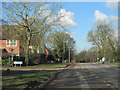
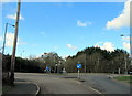
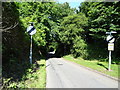
31 photos from this area
Area Information
Key information about the B97 5EY including its size, population, and administrative classification.
- Area Type
- Postcode
- Area Size
- 1.3 hectares
- Population
- 2112
- Population Density
- 1035 people/km²
House Prices in B97 5EY
23
Properties
£334,122
Average Sold Price
£189,950
Lowest Price
£472,000
Highest Price
Showing 23 properties
| Address | Type | Beds | Baths | Last Sale Price | Last Sale Date | |
|---|---|---|---|---|---|---|
| 3 Barston Street, Redditch, B97 5EY | Detached | 4 | 4 | £435,000 | Mar 2025 | |
| 11 Barston Street, Redditch, B97 5EY | house | - | - | £425,000 | Apr 2022 | |
| 10 Barston Street, Redditch, B97 5EY | Detached | 4 | 2 | £370,000 | Jan 2021 | |
| 30 Barston Street, Redditch, B97 5EY | house | - | - | £349,950 | Jun 2018 | |
| 32 Barston Street, Redditch, B97 5EY | house | - | - | £315,000 | Jun 2018 | |
| 26 Barston Street, Redditch, B97 5EY | house | - | - | £375,950 | Jun 2018 | |
| 28 Barston Street, Redditch, B97 5EY | Detached | 3 | 3 | £270,950 | Jun 2018 | |
| 24 Barston Street, Redditch, B97 5EY | house | - | - | £331,500 | Jun 2018 | |
| 20 Barston Street, Redditch, B97 5EY | house | - | - | £219,950 | Apr 2018 | |
| 22 Barston Street, Redditch, B97 5EY | Semi-detached | 2 | 1 | £189,950 | Apr 2018 |
Page 1 of 3
Energy Efficiency in B97 5EY
Amenities
Schools
| Rank | School | Type | Entry gender | Ages |
|---|
Explore more schools in this area
Go to Schools tabDemographics
Household Size
Family (3-5 people)
most common
Accommodation Type
Houses
most common
Tenure
84
majority
Ethnic Group
White
most common
Religion
N/A
most common
Household Composition
N/A
most common
Age
47
median
Adults (30-64 years)
most common
Household Deprivation
N/A
with no deprivation
NS-SEC
47
in Lower managerial occupations
Explore more demographic insights in this area
Go to Demographics tabPlanning
Planning Constraints
- Flood RiskPremium
- Ramsar Wetland SitesPremium
- Area of Outstanding Natural BeautyPremium
- Protected Nature ReservePremium
- Protected WoodlandPremium