Area Overview for B96 6TF
Photos of B96 6TF
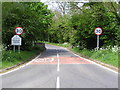
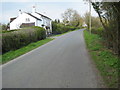
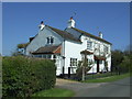
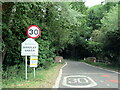
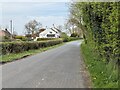
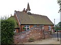
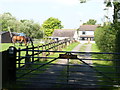
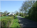

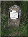
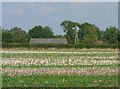
13 photos from this area
Area Information
Key information about the B96 6TF including its size, population, and administrative classification.
- Area Type
- Postcode
- Area Size
- 34.6 hectares
- Population
- 1327
- Population Density
- 37 people/km²
House Prices in B96 6TF
7
Properties
£1,100,748
Average Sold Price
£788,000
Lowest Price
£1,889,990
Highest Price
Showing 7 properties
| Address | Type | Beds | Baths | Last Sale Price | Last Sale Date | |
|---|---|---|---|---|---|---|
| PIGEON HOUSE FARM, MIDDLE ROAD, Stock Green, B96 6TF | Detached | - | - | £1,889,990 | Feb 2024 | |
| Kingswood, Middle Road, Stock Green, B96 6TF | house | - | - | £875,000 | Aug 2018 | |
| Stonebow, Middle Road, Stock Green, B96 6TF | house | - | - | £850,000 | Mar 2018 | |
| Stonehouse Farm, Middle Road, Stock Green, B96 6TF | house | - | - | £788,000 | Apr 2017 | |
| Stables At, Pigeon House Farm, Middle Road, Stock Green, B96 6TF | Equestrian | - | - | - | - | |
| Stonehouse Cottage, Middle Road, Stock Green, B96 6TF | Detached | 4 | 3 | - | - | |
| The Slated House, Middle Road, Stock Green, B96 6TF | Detached | - | - | - | - |
Energy Efficiency in B96 6TF
Amenities
Schools
| Rank | School | Type | Entry gender | Ages |
|---|
Explore more schools in this area
Go to Schools tabDemographics
Household Size
Two person
most common
Accommodation Type
Houses
most common
Tenure
78
majority
Ethnic Group
White
most common
Religion
N/A
most common
Household Composition
N/A
most common
Age
47
median
Adults (30-64 years)
most common
Household Deprivation
N/A
with no deprivation
NS-SEC
43
in Lower managerial occupations
Explore more demographic insights in this area
Go to Demographics tabPlanning
Planning Constraints
- Flood RiskPremium
- Ramsar Wetland SitesPremium
- Area of Outstanding Natural BeautyPremium
- Protected Nature ReservePremium
- Protected WoodlandPremium