Area Overview for B96 6PT
Photos of B96 6PT
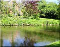
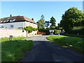
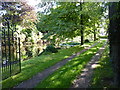
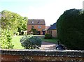
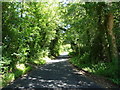
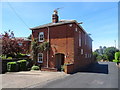
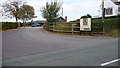
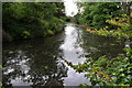
12 photos from this area
Area Information
Key information about the B96 6PT including its size, population, and administrative classification.
- Area Type
- Postcode
- Area Size
- 23.1 hectares
- Population
- 1307
- Population Density
- 63 people/km²
House Prices in B96 6PT
10
Properties
£462,214
Average Sold Price
£124,999
Lowest Price
£730,500
Highest Price
Showing 10 properties
| Address | Type | Beds | Baths | Last Sale Price | Last Sale Date | |
|---|---|---|---|---|---|---|
| Hillside Cottage, Astwood Lane, Astwood Bank, B96 6PT | Cottage | 3 | 1 | £360,000 | Jun 2021 | |
| Yew Tree House, Astwood Lane, Feckenham, Redditch, B96 6PT | Detached | - | - | £670,000 | Feb 2018 | |
| The White House, Astwood Lane, Astwood Bank, B96 6PT | Detached | 3 | - | £650,000 | Aug 2017 | |
| West Ridge, Astwood Lane, Astwood Bank, B96 6PT | Semi-detached | - | - | £124,999 | Nov 2011 | |
| Cherry Tree House, Astwood Lane, Astwood Bank, B96 6PT | house | - | - | £245,000 | Oct 2011 | |
| Yew Tree Cottage, Astwood Lane, Astwood Bank, B96 6PT | house | - | - | £455,000 | Dec 2006 | |
| Astwood Hill House, Astwood Lane, Astwood Bank, B96 6PT | Detached | - | - | £730,500 | Apr 2006 | |
| Inglenook Farm, Astwood Lane, Astwood Bank, B96 6PT | Detached | 5 | 3 | - | - | |
| The Bungalow, Astwood Hill House, Astwood Lane, Astwood Bank, B96 6PT | undefined | - | - | - | - | |
| The Needle Shop, Astwood Lane, Astwood Bank, B96 6PT | Detached | - | - | - | - |
Energy Efficiency in B96 6PT
Amenities
Schools
| Rank | School | Type | Entry gender | Ages |
|---|
Explore more schools in this area
Go to Schools tabDemographics
Household Size
Two person
most common
Accommodation Type
Houses
most common
Tenure
85
majority
Ethnic Group
White
most common
Religion
N/A
most common
Household Composition
N/A
most common
Age
47
median
Adults (30-64 years)
most common
Household Deprivation
N/A
with no deprivation
NS-SEC
45
in Lower managerial occupations
Explore more demographic insights in this area
Go to Demographics tabPlanning
Planning Constraints
- Flood RiskPremium
- Ramsar Wetland SitesPremium
- Area of Outstanding Natural BeautyPremium
- Protected Nature ReservePremium
- Protected WoodlandPremium