Area Overview for B95 5EZ
Photos of B95 5EZ
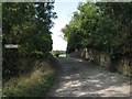
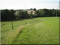
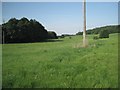
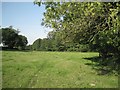
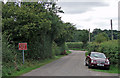
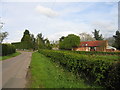
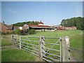
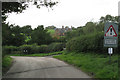
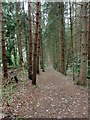
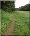
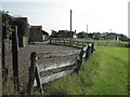
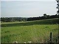
31 photos from this area
Area Information
Key information about the B95 5EZ including its size, population, and administrative classification.
- Area Type
- Postcode
- Area Size
- 56.2 hectares
- Population
- 1652
- Population Density
- 78 people/km²
House Prices in B95 5EZ
11
Properties
£945,211
Average Sold Price
£576,000
Lowest Price
£1,400,000
Highest Price
Showing 11 properties
| Address | Type | Beds | Baths | Last Sale Price | Last Sale Date | |
|---|---|---|---|---|---|---|
| Willowbrook House, Preston Fields Lane, Rowington, B95 5EZ | Detached | 4 | 3 | £1,400,000 | Jan 2024 | |
| Willowbrook Barn, Preston Fields Lane, Rowington, B95 5EZ | Detached | 3 | 2 | £770,000 | Apr 2021 | |
| Orchard Farm, Preston Road, Lowsonford, B95 5EZ | house | - | - | £1,155,057 | Nov 2017 | |
| Bushwood House, Preston Road, Lowsonford, B95 5EZ | Detached | 4 | - | £825,000 | Feb 2016 | |
| Netherfield, Preston Road, Lowsonford, B95 5EZ | Detached | 4 | 3 | £576,000 | Aug 2011 | |
| Orchard Barn, Preston Road, Lowsonford, B95 5EZ | Semi-detached | 3 | 2 | - | - | |
| Mobile Home 2, Brookhouse Farm, Preston Road, Bushwood, Solihull, B95 5EZ | Mobile Home | - | - | - | - | |
| Mobile Home 5, Brookhouse Farm, Preston Road, Lowsonford, B95 5EZ | Mobile Home | - | - | - | - | |
| Mobile Home 1, Brookhouse Farm, Preston Road, Bushwood, Solihull, B95 5EZ | Mobile Home | - | - | - | - | |
| Mobile Home 4, Brookhouse Farm, Preston Road, Bushwood, Solihull, B95 5EZ | Mobile Home | - | - | - | - |
Page 1 of 2
Energy Efficiency in B95 5EZ
Amenities
Schools
| Rank | School | Type | Entry gender | Ages |
|---|
Explore more schools in this area
Go to Schools tabDemographics
Household Size
Two person
most common
Accommodation Type
Houses
most common
Tenure
74
majority
Ethnic Group
White
most common
Religion
N/A
most common
Household Composition
N/A
most common
Age
47
median
Adults (30-64 years)
most common
Household Deprivation
N/A
with no deprivation
NS-SEC
46
in Lower managerial occupations
Explore more demographic insights in this area
Go to Demographics tabPlanning
Planning Constraints
- Flood RiskPremium
- Ramsar Wetland SitesPremium
- Area of Outstanding Natural BeautyPremium
- Protected Nature ReservePremium
- Protected WoodlandPremium