Area Overview for B94 5NU
Photos of B94 5NU
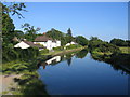
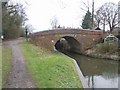
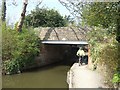
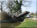
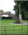
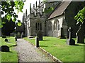
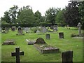
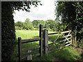
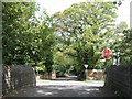
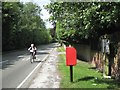
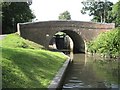
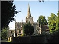
81 photos from this area
Area Information
Key information about the B94 5NU including its size, population, and administrative classification.
- Area Type
- Postcode
- Area Size
- 26.6 hectares
- Population
- 1652
- Population Density
- 78 people/km²
House Prices in B94 5NU
15
Properties
£789,857
Average Sold Price
£18,000
Lowest Price
£1,331,000
Highest Price
Showing 15 properties
| Address | Type | Beds | Baths | Last Sale Price | Last Sale Date | |
|---|---|---|---|---|---|---|
| Spinaway, Church Lane, Lapworth, B94 5NU | house | 1 | - | £900,000 | Mar 2021 | |
| Broomfield House, Church Lane, Lapworth, B94 5NU | house | - | - | £1,331,000 | Aug 2019 | |
| Front Meadow, Church Lane, Lapworth, B94 5NU | house | 3 | 2 | £1,320,000 | Mar 2013 | |
| The Maples, Church Lane, Lapworth, B94 5NU | house | 4 | - | £1,140,000 | Dec 2012 | |
| Mountford Lodge, Church Lane, Lapworth, B94 5NU | Detached | 4 | 4 | £675,000 | Jul 2000 | |
| Church Meadow, Church Lane, Lapworth, B94 5NU | Detached | - | - | £18,000 | Apr 1999 | |
| Little Meadow, Church Lane, Lapworth, B94 5NU | Detached | 3 | - | £145,000 | Aug 1996 | |
| Mountford Farm, Church Lane, Lapworth, B94 5NU | Detached | 5 | 4 | - | - | |
| Old Barn, Mountford Farm, Church Lane, Lapworth, B94 5NU | house | 4 | - | - | - | |
| Church View, Church Lane, Lapworth, B94 5NU | Land | - | - | - | - |
Page 1 of 2
Energy Efficiency in B94 5NU
Amenities
Schools
| Rank | School | Type | Entry gender | Ages |
|---|
Explore more schools in this area
Go to Schools tabDemographics
Household Size
Two person
most common
Accommodation Type
Houses
most common
Tenure
74
majority
Ethnic Group
White
most common
Religion
N/A
most common
Household Composition
N/A
most common
Age
47
median
Adults (30-64 years)
most common
Household Deprivation
N/A
with no deprivation
NS-SEC
46
in Lower managerial occupations
Explore more demographic insights in this area
Go to Demographics tabPlanning
Planning Constraints
- Flood RiskPremium
- Ramsar Wetland SitesPremium
- Area of Outstanding Natural BeautyPremium
- Protected Nature ReservePremium
- Protected WoodlandPremium