Area Overview for B94 5EA
Photos of B94 5EA
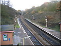
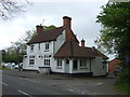
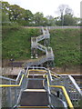
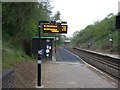
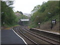
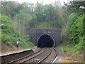
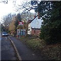
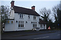
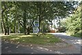
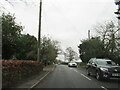
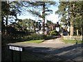
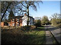
31 photos from this area
Area Information
Key information about the B94 5EA including its size, population, and administrative classification.
- Area Type
- Postcode
- Area Size
- 34.5 hectares
- Population
- 2042
- Population Density
- 161 people/km²
House Prices in B94 5EA
15
Properties
£1,150,900
Average Sold Price
£3,000
Lowest Price
£2,350,000
Highest Price
Showing 15 properties
| Address | Type | Beds | Baths | Last Sale Price | Last Sale Date | |
|---|---|---|---|---|---|---|
| Arden Conifers, Vicarage Hill, Tanworth In Arden, B94 5EA | Bungalow | 4 | 5 | £1,150,000 | Jan 2022 | |
| Gilberts Green, Vicarage Hill, Tanworth In Arden, B94 5EA | Bungalow | - | - | £1,835,000 | Sep 2021 | |
| Ashwood, Vicarage Hill, Tanworth In Arden, B94 5EA | house | - | - | £1,489,000 | Sep 2020 | |
| Petherton Cottage, Vicarage Hill, Tanworth In Arden, B94 5EA | Detached | 5 | 3 | £3,000 | Jul 2018 | |
| Ashcroft, Vicarage Hill, Tanworth In Arden, B94 5EA | Detached | 6 | 5 | £900,000 | Sep 2015 | |
| White Gables, Vicarage Hill, Tanworth In Arden, B94 5EA | Detached | 4 | - | £822,000 | Oct 2013 | |
| Greenacres, Vicarage Hill, Tanworth In Arden, B94 5EA | house | 5 | - | £2,350,000 | Dec 2011 | |
| Elmhurst, Vicarage Hill, Tanworth In Arden, B94 5EA | house | - | - | £845,000 | Oct 2010 | |
| Yeomans Cottage, Vicarage Hill, Tanworth In Arden, B94 5EA | Detached | 4 | 2 | £635,000 | Jun 2007 | |
| Arden Wych, Vicarage Hill, Tanworth In Arden, B94 5EA | Detached | - | - | £1,480,000 | Oct 2002 |
Page 1 of 2
Energy Efficiency in B94 5EA
Amenities
Schools
| Rank | School | Type | Entry gender | Ages |
|---|
Explore more schools in this area
Go to Schools tabDemographics
Household Size
Two person
most common
Accommodation Type
Houses
most common
Tenure
92
majority
Ethnic Group
White
most common
Religion
N/A
most common
Household Composition
N/A
most common
Age
47
median
Adults (30-64 years)
most common
Household Deprivation
N/A
with no deprivation
NS-SEC
45
in Lower managerial occupations
Explore more demographic insights in this area
Go to Demographics tabPlanning
Planning Constraints
- Flood RiskPremium
- Ramsar Wetland SitesPremium
- Area of Outstanding Natural BeautyPremium
- Protected Nature ReservePremium
- Protected WoodlandPremium