Area Overview for B93 9QX
Photos of B93 9QX
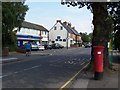
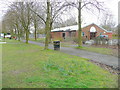
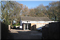
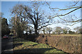
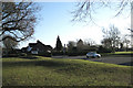
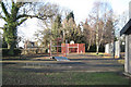
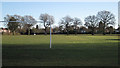
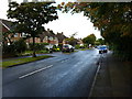
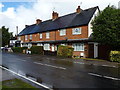
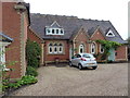
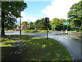
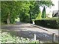
48 photos from this area
Area Information
Key information about the B93 9QX including its size, population, and administrative classification.
- Area Type
- Postcode
- Area Size
- 6667 m²
- Population
- 1593
- Population Density
- 1800 people/km²
House Prices in B93 9QX
14
Properties
£459,242
Average Sold Price
£122,000
Lowest Price
£638,500
Highest Price
Showing 14 properties
| Address | Type | Beds | Baths | Last Sale Price | Last Sale Date | |
|---|---|---|---|---|---|---|
| 60 Willowbank Road, Knowle, Solihull, B93 9QX | Detached | 3 | 2 | £510,000 | Jul 2023 | |
| 50 Willowbank Road, Knowle, Solihull, B93 9QX | Detached | 4 | - | £638,500 | May 2021 | |
| 62 Willowbank Road, Knowle, Solihull, B93 9QX | Detached | 4 | 2 | £525,000 | Oct 2019 | |
| 48 Willowbank Road, Knowle, Solihull, B93 9QX | Detached | 4 | - | £545,000 | Jan 2019 | |
| 42 Willowbank Road, Knowle, Solihull, B93 9QX | Bungalow | 3 | 2 | £460,000 | Oct 2018 | |
| 36 Willowbank Road, Knowle, Solihull, B93 9QX | Bungalow | 2 | - | £405,000 | Oct 2018 | |
| 56 Willowbank Road, Knowle, Solihull, B93 9QX | house | 4 | 1 | £485,000 | Mar 2017 | |
| 52 Willowbank Road, Knowle, Solihull, B93 9QX | house | - | - | £595,000 | Dec 2016 | |
| 54 Willowbank Road, Knowle, Solihull, B93 9QX | house | - | - | £475,500 | Aug 2015 | |
| 40 Willowbank Road, Knowle, Solihull, B93 9QX | Detached | - | - | £389,950 | Aug 2007 |
Page 1 of 2
Energy Efficiency in B93 9QX
Amenities
Schools
| Rank | School | Type | Entry gender | Ages |
|---|
Explore more schools in this area
Go to Schools tabDemographics
Household Size
Family (3-5 people)
most common
Accommodation Type
Houses
most common
Tenure
88
majority
Ethnic Group
White
most common
Religion
N/A
most common
Household Composition
N/A
most common
Age
47
median
Adults (30-64 years)
most common
Household Deprivation
N/A
with no deprivation
NS-SEC
54
in Lower managerial occupations
Explore more demographic insights in this area
Go to Demographics tabPlanning
Planning Constraints
- Flood RiskPremium
- Ramsar Wetland SitesPremium
- Area of Outstanding Natural BeautyPremium
- Protected Nature ReservePremium
- Protected WoodlandPremium