Area Overview for B93 9LE
Photos of B93 9LE
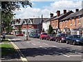
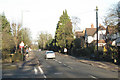
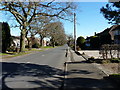
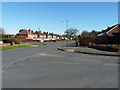
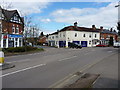
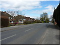
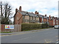
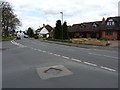
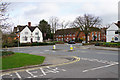

34 photos from this area
Area Information
Key information about the B93 9LE including its size, population, and administrative classification.
- Area Type
- Postcode
- Area Size
- 6506 m²
- Population
- 1635
- Population Density
- 865 people/km²
House Prices in B93 9LE
9
Properties
£395,600
Average Sold Price
£125,000
Lowest Price
£775,000
Highest Price
Showing 9 properties
| Address | Type | Beds | Baths | Last Sale Price | Last Sale Date | |
|---|---|---|---|---|---|---|
| 1484 Warwick Road, Knowle, Solihull, B93 9LE | Detached | - | - | £775,000 | Jan 2023 | |
| 1494 Warwick Road, Knowle, Solihull, B93 9LE | Detached | 4 | - | £570,000 | Jan 2020 | |
| 1490 Warwick Road, Knowle, Solihull, B93 9LE | Detached | - | - | £370,000 | Dec 2005 | |
| 1488 Warwick Road, Knowle, Solihull, B93 9LE | Detached | - | - | £138,000 | Mar 1996 | |
| 1492 Warwick Road, Knowle, Solihull, B93 9LE | house | - | - | £125,000 | Mar 1996 | |
| 1496 Warwick Road, Knowle, Solihull, B93 9LE | house | 4 | 2 | - | - | |
| 1484 Warwick Road, Knowle, Solihull, B93 9LE | Detached | - | - | - | - | |
| Knowle And Dorridge Foot Clinic, 1486 Warwick Road, Knowle, Solihull, B93 9LE | Retail | - | - | - | - | |
| 1486 Warwick Road, Knowle, Solihull, B93 9LE | house | - | - | - | - |
Energy Efficiency in B93 9LE
Amenities
Schools
| Rank | School | Type | Entry gender | Ages |
|---|
Explore more schools in this area
Go to Schools tabDemographics
Household Size
One person
most common
Accommodation Type
Houses
most common
Tenure
61
majority
Ethnic Group
White
most common
Religion
N/A
most common
Household Composition
N/A
most common
Age
47
median
Adults (30-64 years)
most common
Household Deprivation
N/A
with no deprivation
NS-SEC
46
in Lower managerial occupations
Explore more demographic insights in this area
Go to Demographics tabPlanning
Planning Constraints
- Flood RiskPremium
- Ramsar Wetland SitesPremium
- Area of Outstanding Natural BeautyPremium
- Protected Nature ReservePremium
- Protected WoodlandPremium