Area Overview for B93 9AU
Photos of B93 9AU
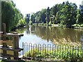
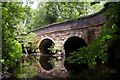
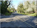
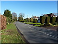
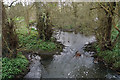
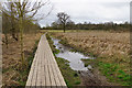
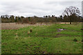

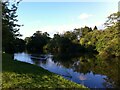
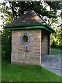
44 photos from this area
Area Information
Key information about the B93 9AU including its size, population, and administrative classification.
- Area Type
- Postcode
- Area Size
- 13.0 hectares
- Population
- 1658
- Population Density
- 592 people/km²
House Prices in B93 9AU
15
Properties
£926,889
Average Sold Price
£325,000
Lowest Price
£1,700,000
Highest Price
Showing 15 properties
| Address | Type | Beds | Baths | Last Sale Price | Last Sale Date | |
|---|---|---|---|---|---|---|
| 24 Lady Byron Lane, Knowle, Solihull, B93 9AU | Detached | 5 | 5 | £1,425,000 | Mar 2025 | |
| 40 Lady Byron Lane, Knowle, Solihull, B93 9AU | house | 5 | 4 | £1,700,000 | Jan 2024 | |
| 38 Lady Byron Lane, Knowle, Solihull, B93 9AU | house | - | - | £1,270,000 | Oct 2023 | |
| 28 Lady Byron Lane, Knowle, Solihull, B93 9AU | Detached | - | - | £400,000 | Oct 2021 | |
| 26 Lady Byron Lane, Knowle, Solihull, B93 9AU | house | 4 | 2 | £1,060,000 | Aug 2018 | |
| 14 Lady Byron Lane, Knowle, Solihull, B93 9AU | house | - | - | £820,000 | Jan 2013 | |
| 16 Lady Byron Lane, Knowle, Solihull, B93 9AU | house | - | - | £702,000 | Jun 2009 | |
| 18 Lady Byron Lane, Knowle, Solihull, B93 9AU | Detached | 1 | 1 | £640,000 | Jul 2005 | |
| 20 Lady Byron Lane, Knowle, Solihull, B93 9AU | Detached | - | - | £325,000 | Oct 1999 | |
| 12 Lady Byron Lane, Knowle, Solihull, B93 9AU | Detached | - | - | - | - |
Page 1 of 2
Energy Efficiency in B93 9AU
Amenities
Schools
| Rank | School | Type | Entry gender | Ages |
|---|
Explore more schools in this area
Go to Schools tabDemographics
Household Size
Two person
most common
Accommodation Type
Houses
most common
Tenure
88
majority
Ethnic Group
White
most common
Religion
N/A
most common
Household Composition
N/A
most common
Age
47
median
Elderly (65+ years)
most common
Household Deprivation
N/A
with no deprivation
NS-SEC
55
in Lower managerial occupations
Explore more demographic insights in this area
Go to Demographics tabPlanning
Planning Constraints
- Flood RiskPremium
- Ramsar Wetland SitesPremium
- Area of Outstanding Natural BeautyPremium
- Protected Nature ReservePremium
- Protected WoodlandPremium