Area Overview for B93 9AD
Photos of B93 9AD
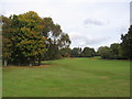
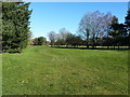
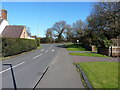
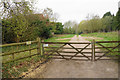
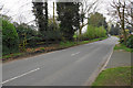
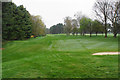


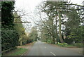
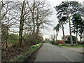


25 photos from this area
Area Information
Key information about the B93 9AD including its size, population, and administrative classification.
- Area Type
- Postcode
- Area Size
- 37.8 hectares
- Population
- 1593
- Population Density
- 1800 people/km²
House Prices in B93 9AD
13
Properties
£777,800
Average Sold Price
£540,000
Lowest Price
£1,325,000
Highest Price
Showing 13 properties
| Address | Type | Beds | Baths | Last Sale Price | Last Sale Date | |
|---|---|---|---|---|---|---|
| The Byron, Smiths Lane, Knowle, Solihull, B93 9AD | house | - | - | £1,325,000 | Sep 2023 | |
| The Stable, Smiths Lane, Knowle, Solihull, B93 9AD | house | - | - | £625,000 | Sep 2023 | |
| The Burrow, Smiths Lane, Knowle, Solihull, B93 9AD | Semi-detached | 4 | 3 | £699,000 | Jul 2023 | |
| The Warren, Smiths Lane, Knowle, Solihull, B93 9AD | house | - | - | £765,000 | Jul 2023 | |
| The Potting Shed, Smiths Lane, Knowle, Solihull, B93 9AD | Bungalow | - | - | £799,000 | Jun 2023 | |
| The Lodge, Smiths Lane, Knowle, Solihull, B93 9AD | house | - | - | £650,000 | Jun 2023 | |
| The Paddock, Smiths Lane, Knowle, Solihull, B93 9AD | Detached | 3 | 3 | £925,000 | May 2023 | |
| The Nest, Smiths Lane, Knowle, Solihull, B93 9AD | house | - | - | £899,999 | May 2023 | |
| 2, Bentley Cottages, Smiths Lane, Knowle, Solihull, B93 9AD | house | - | - | £550,000 | Mar 2016 | |
| Chase Cottage, Smiths Lane, Knowle, Solihull, B93 9AD | Cottage | 2 | - | £540,000 | Jan 2012 |
Page 1 of 2
Energy Efficiency in B93 9AD
Amenities
Schools
| Rank | School | Type | Entry gender | Ages |
|---|
Explore more schools in this area
Go to Schools tabDemographics
Household Size
Family (3-5 people)
most common
Accommodation Type
Houses
most common
Tenure
88
majority
Ethnic Group
White
most common
Religion
N/A
most common
Household Composition
N/A
most common
Age
47
median
Adults (30-64 years)
most common
Household Deprivation
N/A
with no deprivation
NS-SEC
54
in Lower managerial occupations
Explore more demographic insights in this area
Go to Demographics tabPlanning
Planning Constraints
- Flood RiskPremium
- Ramsar Wetland SitesPremium
- Area of Outstanding Natural BeautyPremium
- Protected Nature ReservePremium
- Protected WoodlandPremium