Area Overview for B92 9HW
Photos of B92 9HW
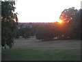
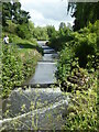
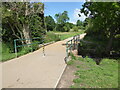
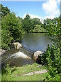
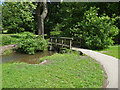

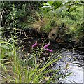
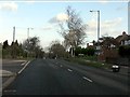

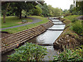
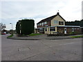
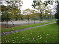
26 photos from this area
Area Information
Key information about the B92 9HW including its size, population, and administrative classification.
- Area Type
- Postcode
- Area Size
- 1.1 hectares
- Population
- 1542
- Population Density
- 1472 people/km²
House Prices in B92 9HW
27
Properties
£173,689
Average Sold Price
£82,500
Lowest Price
£313,000
Highest Price
Showing 27 properties
| Address | Type | Beds | Baths | Last Sale Price | Last Sale Date | |
|---|---|---|---|---|---|---|
| 26 Wolverley Road, Elmdon, Solihull, B92 9HW | house | - | - | £265,000 | Feb 2022 | |
| 32 Wolverley Road, Elmdon, Solihull, B92 9HW | house | - | - | £260,000 | Feb 2021 | |
| 45 Wolverley Road, Elmdon, Solihull, B92 9HW | Maisonette | - | - | £133,000 | Jun 2019 | |
| 42 Wolverley Road, Elmdon, Solihull, B92 9HW | Semi-detached | 3 | 1 | £313,000 | May 2019 | |
| 35 Wolverley Road, Elmdon, Solihull, B92 9HW | Maisonette | 2 | 1 | £117,000 | Sep 2015 | |
| 47 Wolverley Road, Elmdon, Solihull, B92 9HW | Semi-detached | 3 | - | £185,250 | Jan 2015 | |
| 30 Wolverley Road, Elmdon, Solihull, B92 9HW | house | - | - | £205,000 | Nov 2013 | |
| 51 Wolverley Road, Elmdon, Solihull, B92 9HW | house | - | - | £120,000 | May 2009 | |
| 57 Wolverley Road, Elmdon, Solihull, B92 9HW | house | 3 | - | £162,000 | Apr 2008 | |
| 34 Wolverley Road, Elmdon, Solihull, B92 9HW | house | - | - | £203,000 | Nov 2007 |
Page 1 of 3
Energy Efficiency in B92 9HW
Amenities
Schools
| Rank | School | Type | Entry gender | Ages |
|---|
Explore more schools in this area
Go to Schools tabDemographics
Household Size
Family (3-5 people)
most common
Accommodation Type
Houses
most common
Tenure
71
majority
Ethnic Group
White
most common
Religion
N/A
most common
Household Composition
N/A
most common
Age
47
median
Adults (30-64 years)
most common
Household Deprivation
N/A
with no deprivation
NS-SEC
32
in Lower managerial occupations
Explore more demographic insights in this area
Go to Demographics tabPlanning
Planning Constraints
- Flood RiskPremium
- Ramsar Wetland SitesPremium
- Area of Outstanding Natural BeautyPremium
- Protected Nature ReservePremium
- Protected WoodlandPremium