Area Overview for B92 9DG
Photos of B92 9DG
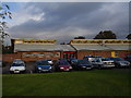
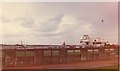

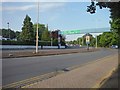
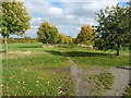
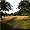
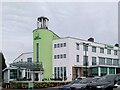
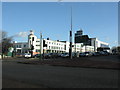
33 photos from this area
Area Information
Key information about the B92 9DG including its size, population, and administrative classification.
- Area Type
- Postcode
- Area Size
- 1.6 hectares
- Population
- 1405
- Population Density
- 1389 people/km²
House Prices in B92 9DG
22
Properties
£156,331
Average Sold Price
£53,000
Lowest Price
£275,000
Highest Price
Showing 22 properties
| Address | Type | Beds | Baths | Last Sale Price | Last Sale Date | |
|---|---|---|---|---|---|---|
| 60 Irving Road, Elmdon, Solihull, B92 9DG | Detached | 3 | 1 | £275,000 | Sep 2021 | |
| 52 Irving Road, Elmdon, Solihull, B92 9DG | house | 3 | - | £275,000 | Jun 2021 | |
| 50 Irving Road, Elmdon, Solihull, B92 9DG | Semi-detached | 3 | 2 | £250,000 | Jun 2018 | |
| 58 Irving Road, Elmdon, Solihull, B92 9DG | Semi-detached | 3 | - | £184,000 | Dec 2015 | |
| 56 Irving Road, Elmdon, Solihull, B92 9DG | house | 3 | - | £128,950 | Feb 2012 | |
| 44 Irving Road, Elmdon, Solihull, B92 9DG | house | - | - | £175,000 | Apr 2010 | |
| 34 Irving Road, Elmdon, Solihull, B92 9DG | Detached | - | - | £179,950 | Aug 2007 | |
| 48 Irving Road, Elmdon, Solihull, B92 9DG | house | 3 | 1 | £170,000 | Jul 2007 | |
| 36 Irving Road, Elmdon, Solihull, B92 9DG | Semi-detached | 3 | - | £159,950 | Mar 2006 | |
| 40 Irving Road, Elmdon, Solihull, B92 9DG | house | - | - | £168,000 | Feb 2005 |
Page 1 of 3
Energy Efficiency in B92 9DG
Amenities
Schools
| Rank | School | Type | Entry gender | Ages |
|---|
Explore more schools in this area
Go to Schools tabDemographics
Household Size
Family (3-5 people)
most common
Accommodation Type
Houses
most common
Tenure
87
majority
Ethnic Group
White
most common
Religion
N/A
most common
Household Composition
N/A
most common
Age
47
median
Adults (30-64 years)
most common
Household Deprivation
N/A
with no deprivation
NS-SEC
32
in Lower managerial occupations
Explore more demographic insights in this area
Go to Demographics tabPlanning
Planning Constraints
- Flood RiskPremium
- Ramsar Wetland SitesPremium
- Area of Outstanding Natural BeautyPremium
- Protected Nature ReservePremium
- Protected WoodlandPremium