Area Overview for B92 7TB
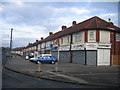
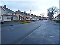
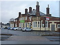
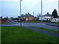
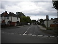
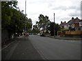
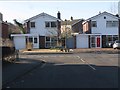
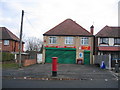
Photos of B92 7TB


Area Information
B92 7TB, a small residential cluster in the Metropolitan Borough of Solihull, offers a quiet suburban lifestyle with historical roots. The area, known as Olton, retains the character of an independent village despite its proximity to Solihull. With a population of 1,685, it is a close-knit community where daily life revolves around local amenities and green spaces. The area’s origins trace back to the 13th century, with its name derived from “old town,” reflecting its historical significance as the former seat of the Ulverley manor. Today, it is connected by the Birmingham-Warwick Road and served by multiple railway stations, including Olton and Acocks Green. Olton Mere, a reservoir and open water feature, adds to the area’s charm, while St Margaret’s Church and Olton Friary stand as reminders of its rich heritage. The transition from agricultural land to a residential hub began in 1869 with the arrival of the railway, shaping the community’s identity as a blend of tradition and modern convenience.
- Area Type
- Postcode
- Area Size
- Not available
- Population
- 1685
- Population Density
- 4044 people/km²
The property market in B92 7TB is dominated by owner-occupied homes, with 77% of residents living in houses. This indicates a residential area where larger properties are the norm, catering to families or individuals seeking private, spacious living. The absence of flats or apartments suggests a focus on traditional housing stock, which may appeal to buyers looking for long-term investment or family homes. Given the small size of the postcode area, the surrounding regions likely offer similar housing options, though specific details on property availability or price trends are not provided. The high home ownership rate also implies a stable market with limited rental activity, making it a potentially secure choice for buyers seeking a settled community. However, the limited data means potential buyers should investigate local estate agents for up-to-date listings and insights into property values.
House Prices in B92 7TB
No properties found in this postcode.
Energy Efficiency in B92 7TB
Living in B92 7TB offers access to a range of amenities within practical reach. Local shops include Co-op Northfield, Cook Solihull, and Spar, providing everyday essentials. The area’s railway stations—Olton, Acocks Green, and Spring Road—connect residents to broader transport networks, while proximity to Birmingham International Airport and Corporation Street adds to its convenience. For leisure, Olton Mere offers open water and surrounding woodland, ideal for walking or recreation. Historical sites like St Margaret’s Church and Olton Friary add cultural depth, while the Birmingham-Warwick Road ensures easy access to nearby towns. The mix of retail, transport, and green spaces creates a balanced lifestyle, blending suburban tranquillity with practical connectivity. This makes B92 7TB appealing to those seeking a self-contained community with access to both local charm and wider opportunities.
Amenities
Schools
| Rank | School | Type | Entry gender | Ages |
|---|
Explore more schools in this area
Go to Schools tabDemographics
The population of B92 7TB has a median age of 47, with the majority of residents falling within the 30–64 age range. This suggests a community of middle-aged and older adults, many of whom may be established professionals or families. Home ownership is high at 77%, indicating a stable, owner-occupied demographic. The predominant accommodation type is houses, reflecting a residential character that prioritises private living spaces over flats or apartments. The predominant ethnic group is White, though specific data on diversity is not provided. The age profile and home ownership rate suggest a mature community with long-term residents, likely contributing to a sense of continuity and local identity. The absence of detailed deprivation data means the area’s socioeconomic challenges are not explicitly outlined, but the high home ownership and age distribution imply a relatively stable quality of life.
Household Size
Accommodation Type
Tenure
Ethnic Group
Religion
Household Composition
Age
Household Deprivation
NS-SEC
Explore more demographic insights in this area
Go to Demographics tabPlanning
Planning Constraints
- Flood RiskPremium
- Ramsar Wetland SitesPremium
- Area of Outstanding Natural BeautyPremium
- Protected Nature ReservePremium
- Protected WoodlandPremium