Area Overview for B92 7JH
Photos of B92 7JH
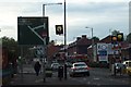
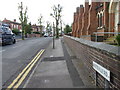
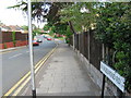

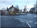
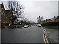
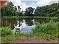
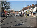
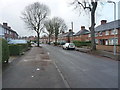
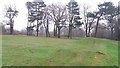
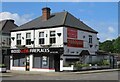
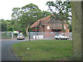
17 photos from this area
Area Information
Key information about the B92 7JH including its size, population, and administrative classification.
- Area Type
- Postcode
- Area Size
- 1.4 hectares
- Population
- 1944
- Population Density
- 4915 people/km²
House Prices in B92 7JH
33
Properties
£229,784
Average Sold Price
£68,500
Lowest Price
£455,000
Highest Price
Showing 33 properties
| Address | Type | Beds | Baths | Last Sale Price | Last Sale Date | |
|---|---|---|---|---|---|---|
| 9 Brookvale Grove, Olton, Solihull, B92 7JH | Semi-detached | 3 | 1 | £277,500 | Aug 2025 | |
| 7 Brookvale Grove, Olton, Solihull, B92 7JH | house | - | - | £249,000 | Feb 2025 | |
| 13 Brookvale Grove, Olton, Solihull, B92 7JH | Semi-detached | 3 | 2 | £281,000 | Feb 2024 | |
| 45 Brookvale Grove, Olton, Solihull, B92 7JH | Semi-detached | 5 | 2 | £385,000 | Aug 2023 | |
| 47 Brookvale Grove, Olton, Solihull, B92 7JH | Semi-detached | 3 | - | £363,000 | Jun 2022 | |
| 21 Brookvale Grove, Olton, Solihull, B92 7JH | house | - | - | £455,000 | Mar 2021 | |
| 37 Brookvale Grove, Olton, Solihull, B92 7JH | Semi-detached | 4 | 1 | £310,000 | Jul 2019 | |
| 16 Brookvale Grove, Olton, Solihull, B92 7JH | Semi-detached | 3 | 1 | £234,950 | Apr 2016 | |
| 12 Brookvale Grove, Olton, Solihull, B92 7JH | house | 4 | - | £230,000 | Mar 2012 | |
| 10 Brookvale Grove, Olton, Solihull, B92 7JH | house | - | - | £190,000 | Oct 2010 |
Page 1 of 4
Energy Efficiency in B92 7JH
Amenities
Schools
| Rank | School | Type | Entry gender | Ages |
|---|
Explore more schools in this area
Go to Schools tabDemographics
Household Size
One person
most common
Accommodation Type
Flats
most common
Tenure
46
majority
Ethnic Group
White
most common
Religion
N/A
most common
Household Composition
N/A
most common
Age
47
median
Adults (30-64 years)
most common
Household Deprivation
N/A
with no deprivation
NS-SEC
31
in Lower managerial occupations
Explore more demographic insights in this area
Go to Demographics tabPlanning
Planning Constraints
- Flood RiskPremium
- Ramsar Wetland SitesPremium
- Area of Outstanding Natural BeautyPremium
- Protected Nature ReservePremium
- Protected WoodlandPremium