Area Overview for B92 7AZ
Photos of B92 7AZ
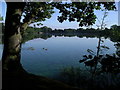
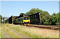
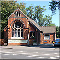
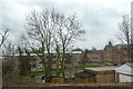
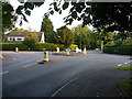
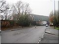
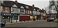
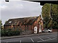
35 photos from this area
Area Information
Key information about the B92 7AZ including its size, population, and administrative classification.
- Area Type
- Postcode
- Area Size
- 1.3 hectares
- Population
- 1720
- Population Density
- 3242 people/km²
House Prices in B92 7AZ
18
Properties
£287,903
Average Sold Price
£140,000
Lowest Price
£400,000
Highest Price
Showing 18 properties
| Address | Type | Beds | Baths | Last Sale Price | Last Sale Date | |
|---|---|---|---|---|---|---|
| 74 Mereside Way, Olton, Solihull, B92 7AZ | Bungalow | - | - | £400,000 | Jun 2024 | |
| 98 Mereside Way, Olton, Solihull, B92 7AZ | Bungalow | 2 | 1 | £340,000 | Mar 2024 | |
| 102 Mereside Way, Olton, Solihull, B92 7AZ | Semi-detached | 2 | 1 | £327,500 | Apr 2023 | |
| 88 Mereside Way, Olton, Solihull, B92 7AZ | Bungalow | - | - | £320,000 | May 2022 | |
| 86 Mereside Way, Olton, Solihull, B92 7AZ | Bungalow | 2 | 1 | £340,000 | Jan 2022 | |
| 78 Mereside Way, Olton, Solihull, B92 7AZ | Bungalow | 4 | 2 | £389,950 | Jul 2019 | |
| 82 Mereside Way, Olton, Solihull, B92 7AZ | Semi-detached | 2 | - | £305,000 | Jul 2019 | |
| 94 Mereside Way, Olton, Solihull, B92 7AZ | Semi-detached | 2 | 1 | £268,000 | Jul 2018 | |
| 90 Mereside Way, Olton, Solihull, B92 7AZ | Bungalow | - | - | £266,000 | Jul 2018 | |
| 84 Mereside Way, Olton, Solihull, B92 7AZ | Bungalow | - | - | £185,000 | May 2013 |
Page 1 of 2
Energy Efficiency in B92 7AZ
Amenities
Schools
| Rank | School | Type | Entry gender | Ages |
|---|
Explore more schools in this area
Go to Schools tabDemographics
Household Size
Two person
most common
Accommodation Type
Houses
most common
Tenure
79
majority
Ethnic Group
White
most common
Religion
N/A
most common
Household Composition
N/A
most common
Age
47
median
Adults (30-64 years)
most common
Household Deprivation
N/A
with no deprivation
NS-SEC
49
in Lower managerial occupations
Explore more demographic insights in this area
Go to Demographics tabPlanning
Planning Constraints
- Flood RiskPremium
- Ramsar Wetland SitesPremium
- Area of Outstanding Natural BeautyPremium
- Protected Nature ReservePremium
- Protected WoodlandPremium