Area Overview for B92 0PS
Photos of B92 0PS
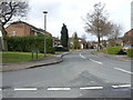
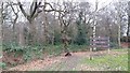
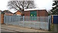
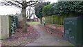
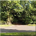
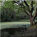
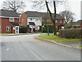
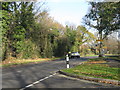
18 photos from this area
Area Information
Key information about the B92 0PS including its size, population, and administrative classification.
- Area Type
- Postcode
- Area Size
- 1.8 hectares
- Population
- 1554
- Population Density
- 145 people/km²
House Prices in B92 0PS
70
Properties
£163,366
Average Sold Price
£35,500
Lowest Price
£368,000
Highest Price
Showing 70 properties
| Address | Type | Beds | Baths | Last Sale Price | Last Sale Date | |
|---|---|---|---|---|---|---|
| 102 Kendal Grove, Solihull, B92 0PS | Flat | 1 | 1 | £140,000 | Aug 2025 | |
| 58 Kendal Grove, Solihull, B92 0PS | Flat | - | - | £137,500 | Jul 2025 | |
| 84 Kendal Grove, Solihull, B92 0PS | Semi-detached | 2 | 1 | £315,000 | May 2025 | |
| 7 Kendal Grove, Solihull, B92 0PS | Semi-detached | 2 | 1 | £322,000 | Feb 2025 | |
| 36 Kendal Grove, Solihull, B92 0PS | house | - | - | £177,000 | Jan 2025 | |
| 42 Kendal Grove, Solihull, B92 0PS | Flat | 1 | 1 | £135,000 | Jan 2025 | |
| 30 Kendal Grove, Solihull, B92 0PS | Semi-detached | 2 | 1 | £300,000 | Jun 2024 | |
| 8 Kendal Grove, Solihull, B92 0PS | Semi-detached | 2 | 1 | £320,000 | Apr 2024 | |
| 9A Kendal Grove, Solihull, B92 0PS | house | - | - | £277,500 | Jul 2023 | |
| 86 Kendal Grove, Solihull, B92 0PS | Terraced | 1 | 1 | £200,000 | Dec 2022 |
Page 1 of 7
Energy Efficiency in B92 0PS
Amenities
Schools
| Rank | School | Type | Entry gender | Ages |
|---|
Explore more schools in this area
Go to Schools tabDemographics
Household Size
One person
most common
Accommodation Type
Houses
most common
Tenure
68
majority
Ethnic Group
White
most common
Religion
N/A
most common
Household Composition
N/A
most common
Age
47
median
Adults (30-64 years)
most common
Household Deprivation
N/A
with no deprivation
NS-SEC
40
in Lower managerial occupations
Explore more demographic insights in this area
Go to Demographics tabPlanning
Planning Constraints
- Flood RiskPremium
- Ramsar Wetland SitesPremium
- Area of Outstanding Natural BeautyPremium
- Protected Nature ReservePremium
- Protected WoodlandPremium