Area Overview for B92 0AN
Photos of B92 0AN
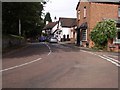
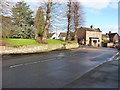
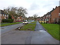
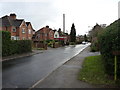
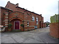
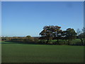

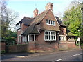
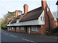
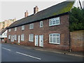


86 photos from this area
Area Information
Key information about the B92 0AN including its size, population, and administrative classification.
- Area Type
- Postcode
- Area Size
- 39.1 hectares
- Population
- 2169
- Population Density
- 187 people/km²
House Prices in B92 0AN
18
Properties
£556,962
Average Sold Price
£18,000
Lowest Price
£965,000
Highest Price
Showing 18 properties
| Address | Type | Beds | Baths | Last Sale Price | Last Sale Date | |
|---|---|---|---|---|---|---|
| Crown Point, 25 Bellemere Road, Hampton In Arden, Solihull, B92 0AN | Detached | - | - | £18,000 | Mar 2022 | |
| 39 Bellemere Road, Hampton In Arden, Solihull, B92 0AN | house | - | - | £965,000 | Mar 2021 | |
| Hook End Barn, 45 Bellemere Road, Hampton In Arden, Solihull, B92 0AN | house | - | - | £955,000 | Jan 2020 | |
| 17 Bellemere Road, Hampton In Arden, Solihull, B92 0AN | Detached | 5 | 2 | £850,000 | Sep 2019 | |
| Caxton House, 3 Bellemere Road, Hampton In Arden, Solihull, B92 0AN | Semi-detached | 5 | - | £780,000 | Jan 2019 | |
| 23 Bellemere Road, Hampton In Arden, Solihull, B92 0AN | Detached | 4 | - | £750,000 | Jan 2019 | |
| 9 Bellemere Road, Hampton In Arden, Solihull, B92 0AN | house | 5 | - | £718,000 | Dec 2015 | |
| Ardendale, 21 Bellemere Road, Hampton In Arden, Solihull, B92 0AN | Detached | - | - | £890,000 | Jul 2005 | |
| Sunnyside, 1 Bellemere Road, Hampton In Arden, Solihull, B92 0AN | Detached | - | - | £312,500 | Jul 2000 | |
| Oakleigh, 29 Bellemere Road, Hampton In Arden, Solihull, B92 0AN | Detached | - | - | £390,000 | Apr 1999 |
Page 1 of 2
Energy Efficiency in B92 0AN
Amenities
Schools
| Rank | School | Type | Entry gender | Ages |
|---|
Explore more schools in this area
Go to Schools tabDemographics
Household Size
Two person
most common
Accommodation Type
Houses
most common
Tenure
83
majority
Ethnic Group
White
most common
Religion
N/A
most common
Household Composition
N/A
most common
Age
47
median
Adults (30-64 years)
most common
Household Deprivation
N/A
with no deprivation
NS-SEC
54
in Lower managerial occupations
Explore more demographic insights in this area
Go to Demographics tabPlanning
Planning Constraints
- Flood RiskPremium
- Ramsar Wetland SitesPremium
- Area of Outstanding Natural BeautyPremium
- Protected Nature ReservePremium
- Protected WoodlandPremium