Area Overview for B91 3LL
Photos of B91 3LL
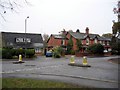
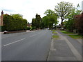
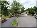
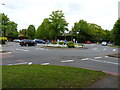
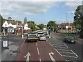
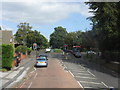
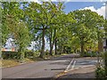
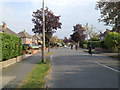
19 photos from this area
Area Information
Key information about the B91 3LL including its size, population, and administrative classification.
- Area Type
- Postcode
- Area Size
- 1.6 hectares
- Population
- 1935
- Population Density
- 3433 people/km²
House Prices in B91 3LL
25
Properties
£354,100
Average Sold Price
£80,000
Lowest Price
£645,000
Highest Price
Showing 25 properties
| Address | Type | Beds | Baths | Last Sale Price | Last Sale Date | |
|---|---|---|---|---|---|---|
| 80 Widney Lane, Solihull, B91 3LL | Detached | 3 | 2 | £645,000 | Sep 2024 | |
| 90 Widney Lane, Solihull, B91 3LL | Semi-detached | 4 | 2 | £495,000 | Jul 2022 | |
| 51 Widney Lane, Solihull, B91 3LL | Semi-detached | 4 | 2 | £425,000 | Jun 2021 | |
| 61 Widney Lane, Solihull, B91 3LL | Detached | 3 | 1 | £492,500 | Apr 2021 | |
| 92 Widney Lane, Solihull, B91 3LL | Semi-detached | 3 | 1 | £387,000 | Mar 2018 | |
| 84 Widney Lane, Solihull, B91 3LL | house | - | - | £500,000 | Feb 2018 | |
| 53 Widney Lane, Solihull, B91 3LL | Detached | 3 | 1 | £315,000 | Jun 2017 | |
| 63 Widney Lane, Solihull, B91 3LL | house | 3 | - | £355,000 | Dec 2013 | |
| 57 Widney Lane, Solihull, B91 3LL | house | - | - | £385,000 | Aug 2007 | |
| 49 Widney Lane, Solihull, B91 3LL | house | - | - | £240,000 | Apr 2005 |
Page 1 of 3
Energy Efficiency in B91 3LL
Amenities
Schools
| Rank | School | Type | Entry gender | Ages |
|---|
Explore more schools in this area
Go to Schools tabDemographics
Household Size
Family (3-5 people)
most common
Accommodation Type
Houses
most common
Tenure
80
majority
Ethnic Group
White
most common
Religion
N/A
most common
Household Composition
N/A
most common
Age
47
median
Adults (30-64 years)
most common
Household Deprivation
N/A
with no deprivation
NS-SEC
50
in Lower managerial occupations
Explore more demographic insights in this area
Go to Demographics tabPlanning
Planning Constraints
- Flood RiskPremium
- Ramsar Wetland SitesPremium
- Area of Outstanding Natural BeautyPremium
- Protected Nature ReservePremium
- Protected WoodlandPremium