Area Overview for B91 3JB
Photos of B91 3JB
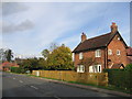
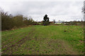
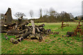
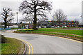
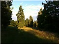
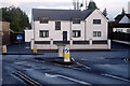
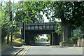
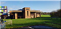
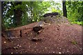
25 photos from this area
Area Information
Key information about the B91 3JB including its size, population, and administrative classification.
- Area Type
- Postcode
- Area Size
- 1.9 hectares
- Population
- 1660
- Population Density
- 1539 people/km²
House Prices in B91 3JB
30
Properties
£400,942
Average Sold Price
£113,000
Lowest Price
£608,500
Highest Price
Showing 30 properties
| Address | Type | Beds | Baths | Last Sale Price | Last Sale Date | |
|---|---|---|---|---|---|---|
| 33 Church Hill Close, Solihull, B91 3JB | Detached | 4 | 3 | £542,500 | May 2025 | |
| 27 Church Hill Close, Solihull, B91 3JB | house | 4 | 2 | £608,500 | Apr 2025 | |
| 8 Church Hill Close, Solihull, B91 3JB | house | 4 | 3 | £585,000 | Feb 2025 | |
| 17 Church Hill Close, Solihull, B91 3JB | Detached | 4 | 2 | £525,000 | Feb 2022 | |
| 16 Church Hill Close, Solihull, B91 3JB | house | - | - | £428,000 | Jul 2020 | |
| 12 Church Hill Close, Solihull, B91 3JB | Detached | 4 | 1 | £443,000 | Oct 2019 | |
| 20 Church Hill Close, Solihull, B91 3JB | Detached | 3 | 1 | £428,000 | Oct 2019 | |
| 43 Church Hill Close, Solihull, B91 3JB | house | - | - | £499,950 | Jul 2017 | |
| 10 Church Hill Close, Solihull, B91 3JB | Detached | 4 | - | £502,000 | Nov 2016 | |
| 21 Church Hill Close, Solihull, B91 3JB | house | 5 | - | £465,000 | Nov 2014 |
Page 1 of 3
Energy Efficiency in B91 3JB
Amenities
Schools
| Rank | School | Type | Entry gender | Ages |
|---|
Explore more schools in this area
Go to Schools tabDemographics
Household Size
One person
most common
Accommodation Type
Houses
most common
Tenure
76
majority
Ethnic Group
White
most common
Religion
N/A
most common
Household Composition
N/A
most common
Age
47
median
Adults (30-64 years)
most common
Household Deprivation
N/A
with no deprivation
NS-SEC
56
in Lower managerial occupations
Explore more demographic insights in this area
Go to Demographics tabPlanning
Planning Constraints
- Flood RiskPremium
- Ramsar Wetland SitesPremium
- Area of Outstanding Natural BeautyPremium
- Protected Nature ReservePremium
- Protected WoodlandPremium