Area Overview for B91 2SG
Photos of B91 2SG
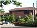
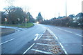
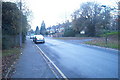
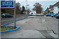
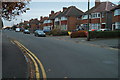
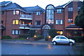
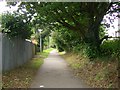
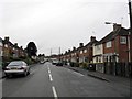
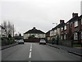
100 photos from this area
Area Information
Key information about the B91 2SG including its size, population, and administrative classification.
- Area Type
- Postcode
- Area Size
- 1.0 hectares
- Population
- 1943
- Population Density
- 5767 people/km²
House Prices in B91 2SG
17
Properties
£245,917
Average Sold Price
£88,500
Lowest Price
£375,000
Highest Price
Showing 17 properties
| Address | Type | Beds | Baths | Last Sale Price | Last Sale Date | |
|---|---|---|---|---|---|---|
| 59 Cornyx Lane, Solihull, B91 2SG | Bungalow | 2 | 1 | £375,000 | Feb 2025 | |
| 56 Cornyx Lane, Solihull, B91 2SG | Semi-detached | 3 | 1 | £371,000 | Jul 2024 | |
| 60 Cornyx Lane, Solihull, B91 2SG | Semi-detached | 3 | - | £330,000 | Aug 2023 | |
| 49 Cornyx Lane, Solihull, B91 2SG | Bungalow | 3 | - | £366,000 | Dec 2020 | |
| 61 Cornyx Lane, Solihull, B91 2SG | Bungalow | 2 | - | £265,000 | Jun 2016 | |
| 57 Cornyx Lane, Solihull, B91 2SG | Bungalow | 3 | - | £297,500 | May 2015 | |
| 47 Cornyx Lane, Solihull, B91 2SG | Bungalow | 2 | 1 | £183,000 | Feb 2013 | |
| 63 Cornyx Lane, Solihull, B91 2SG | Bungalow | - | - | £200,000 | Jun 2012 | |
| 48 Cornyx Lane, Solihull, B91 2SG | Semi-detached | 3 | 1 | £135,000 | Oct 2006 | |
| 51 Cornyx Lane, Solihull, B91 2SG | house | - | - | £195,000 | Oct 2005 |
Page 1 of 2
Energy Efficiency in B91 2SG
Amenities
Schools
| Rank | School | Type | Entry gender | Ages |
|---|
Explore more schools in this area
Go to Schools tabDemographics
Household Size
Two person
most common
Accommodation Type
Houses
most common
Tenure
61
majority
Ethnic Group
White
most common
Religion
N/A
most common
Household Composition
N/A
most common
Age
47
median
Adults (30-64 years)
most common
Household Deprivation
N/A
with no deprivation
NS-SEC
41
in Lower managerial occupations
Explore more demographic insights in this area
Go to Demographics tabPlanning
Planning Constraints
- Flood RiskPremium
- Ramsar Wetland SitesPremium
- Area of Outstanding Natural BeautyPremium
- Protected Nature ReservePremium
- Protected WoodlandPremium