Area Overview for B91 2LQ
Photos of B91 2LQ
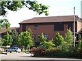
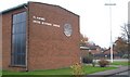
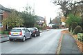
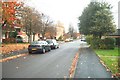
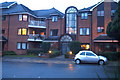
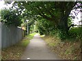
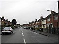
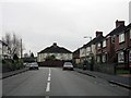
100 photos from this area
Area Information
Key information about the B91 2LQ including its size, population, and administrative classification.
- Area Type
- Postcode
- Area Size
- 3508 m²
- Population
- 1943
- Population Density
- 5767 people/km²
House Prices in B91 2LQ
12
Properties
£199,778
Average Sold Price
£99,000
Lowest Price
£326,000
Highest Price
Showing 12 properties
| Address | Type | Beds | Baths | Last Sale Price | Last Sale Date | |
|---|---|---|---|---|---|---|
| 11 Bisbrook Croft, Solihull, B91 2LQ | Terraced | 3 | 2 | £326,000 | Jul 2024 | |
| 15 Bisbrook Croft, Solihull, B91 2LQ | Terraced | 3 | 1 | £220,000 | Mar 2021 | |
| 23 Bisbrook Croft, Solihull, B91 2LQ | Terraced | 3 | 2 | £135,000 | Nov 2020 | |
| 17 Bisbrook Croft, Solihull, B91 2LQ | Terraced | 3 | 1 | £260,000 | Jun 2019 | |
| 1 Bisbrook Croft, Solihull, B91 2LQ | Detached | 2 | 1 | £183,000 | Mar 2016 | |
| 19 Bisbrook Croft, Solihull, B91 2LQ | house | - | - | £99,000 | Oct 2013 | |
| 5 Bisbrook Croft, Solihull, B91 2LQ | Semi-detached | 3 | - | £105,000 | Aug 2013 | |
| 9 Bisbrook Croft, Solihull, B91 2LQ | house | 3 | - | £220,000 | Jan 2011 | |
| 3 Bisbrook Croft, Solihull, B91 2LQ | house | 3 | 2 | £250,000 | Aug 2005 | |
| 25 Bisbrook Croft, Solihull, B91 2LQ | house | 3 | 2 | - | - |
Page 1 of 2
Energy Efficiency in B91 2LQ
Amenities
Schools
| Rank | School | Type | Entry gender | Ages |
|---|
Explore more schools in this area
Go to Schools tabDemographics
Household Size
Two person
most common
Accommodation Type
Houses
most common
Tenure
61
majority
Ethnic Group
White
most common
Religion
N/A
most common
Household Composition
N/A
most common
Age
47
median
Adults (30-64 years)
most common
Household Deprivation
N/A
with no deprivation
NS-SEC
41
in Lower managerial occupations
Explore more demographic insights in this area
Go to Demographics tabPlanning
Planning Constraints
- Flood RiskPremium
- Ramsar Wetland SitesPremium
- Area of Outstanding Natural BeautyPremium
- Protected Nature ReservePremium
- Protected WoodlandPremium