Area Overview for B91 2HJ
Photos of B91 2HJ
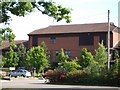

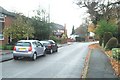
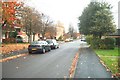

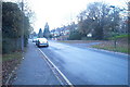
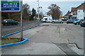
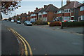
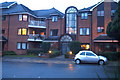
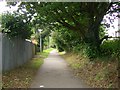
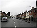
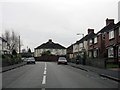
100 photos from this area
Area Information
Key information about the B91 2HJ including its size, population, and administrative classification.
- Area Type
- Postcode
- Area Size
- 1.7 hectares
- Population
- 1824
- Population Density
- 3646 people/km²
House Prices in B91 2HJ
31
Properties
£224,825
Average Sold Price
£178,000
Lowest Price
£309,000
Highest Price
Showing 31 properties
| Address | Type | Beds | Baths | Last Sale Price | Last Sale Date | |
|---|---|---|---|---|---|---|
| 86 Lode Lane, Solihull, B91 2HJ | Semi-detached | 3 | - | £262,000 | Sep 2014 | |
| 84 Lode Lane, Solihull, B91 2HJ | Semi-detached | 4 | 3 | £309,000 | Apr 2011 | |
| 94 Lode Lane, Solihull, B91 2HJ | house | 3 | - | £178,000 | Jan 2008 | |
| 92 Lode Lane, Solihull, B91 2HJ | Semi-detached | - | - | £210,000 | Mar 2007 | |
| 90 Lode Lane, Solihull, B91 2HJ | house | - | - | £190,000 | Jun 2006 | |
| 88 Lode Lane, Solihull, B91 2HJ | Semi-detached | 2 | - | £199,950 | Mar 2006 | |
| Former 72, Lode Lane, Solihull, B91 2HJ | Detached | - | - | - | - | |
| 17 The Hermitage, Solihull, B91 2HJ | Flat | - | - | - | - | |
| 25 The Hermitage, Solihull, B91 2HJ | Flat | - | - | - | - | |
| 7 The Hermitage, Solihull, B91 2HJ | Semi-detached | - | - | - | - |
Page 1 of 4
Energy Efficiency in B91 2HJ
Amenities
Schools
| Rank | School | Type | Entry gender | Ages |
|---|
Explore more schools in this area
Go to Schools tabDemographics
Household Size
Family (3-5 people)
most common
Accommodation Type
Houses
most common
Tenure
65
majority
Ethnic Group
White
most common
Religion
N/A
most common
Household Composition
N/A
most common
Age
47
median
Adults (30-64 years)
most common
Household Deprivation
N/A
with no deprivation
NS-SEC
41
in Lower managerial occupations
Explore more demographic insights in this area
Go to Demographics tabPlanning
Planning Constraints
- Flood RiskPremium
- Ramsar Wetland SitesPremium
- Area of Outstanding Natural BeautyPremium
- Protected Nature ReservePremium
- Protected WoodlandPremium