Area Overview for B91 2ES
Photos of B91 2ES
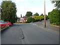
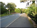
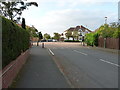
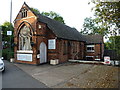
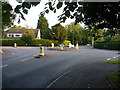
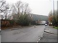
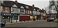
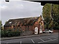
35 photos from this area
Area Information
Key information about the B91 2ES including its size, population, and administrative classification.
- Area Type
- Postcode
- Area Size
- 1.1 hectares
- Population
- 1599
- Population Density
- 1836 people/km²
House Prices in B91 2ES
20
Properties
£321,779
Average Sold Price
£95,000
Lowest Price
£550,000
Highest Price
Showing 20 properties
| Address | Type | Beds | Baths | Last Sale Price | Last Sale Date | |
|---|---|---|---|---|---|---|
| 1A Melford Hall Road, Solihull, B91 2ES | house | 2 | 2 | £382,000 | Apr 2023 | |
| 15 Melford Hall Road, Solihull, B91 2ES | house | - | - | £480,000 | Aug 2022 | |
| 9 Melford Hall Road, Solihull, B91 2ES | house | 5 | - | £550,000 | Oct 2020 | |
| 14 Melford Hall Road, Solihull, B91 2ES | Semi-detached | 4 | 2 | £490,000 | Jul 2020 | |
| 7 Melford Hall Road, Solihull, B91 2ES | house | - | - | £420,000 | Oct 2018 | |
| 3 Melford Hall Road, Solihull, B91 2ES | Semi-detached | 3 | - | £334,950 | Nov 2014 | |
| 10 Melford Hall Road, Solihull, B91 2ES | house | - | - | £270,000 | Apr 2013 | |
| 6 Melford Hall Road, Solihull, B91 2ES | house | - | - | £335,000 | Sep 2012 | |
| 4 Melford Hall Road, Solihull, B91 2ES | house | 3 | - | £277,000 | Dec 2011 | |
| 11 Melford Hall Road, Solihull, B91 2ES | Semi-detached | - | - | £270,000 | Sep 2006 |
Page 1 of 2
Energy Efficiency in B91 2ES
Amenities
Schools
| Rank | School | Type | Entry gender | Ages |
|---|
Explore more schools in this area
Go to Schools tabDemographics
Household Size
Family (3-5 people)
most common
Accommodation Type
Houses
most common
Tenure
93
majority
Ethnic Group
White
most common
Religion
N/A
most common
Household Composition
N/A
most common
Age
47
median
Adults (30-64 years)
most common
Household Deprivation
N/A
with no deprivation
NS-SEC
49
in Lower managerial occupations
Explore more demographic insights in this area
Go to Demographics tabPlanning
Planning Constraints
- Flood RiskPremium
- Ramsar Wetland SitesPremium
- Area of Outstanding Natural BeautyPremium
- Protected Nature ReservePremium
- Protected WoodlandPremium