Area Overview for B91 2BN
Photos of B91 2BN
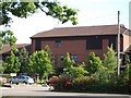

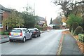
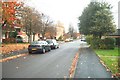
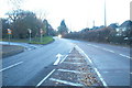
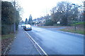
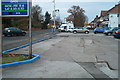
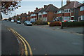
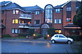
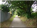
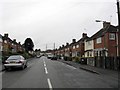
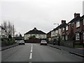
100 photos from this area
Area Information
Key information about the B91 2BN including its size, population, and administrative classification.
- Area Type
- Postcode
- Area Size
- 2.1 hectares
- Population
- 1824
- Population Density
- 3646 people/km²
House Prices in B91 2BN
26
Properties
£377,063
Average Sold Price
£130,000
Lowest Price
£540,000
Highest Price
Showing 26 properties
| Address | Type | Beds | Baths | Last Sale Price | Last Sale Date | |
|---|---|---|---|---|---|---|
| 149 Seven Star Road, Solihull, B91 2BN | Detached | 4 | - | £500,000 | Aug 2025 | |
| 169 Seven Star Road, Solihull, B91 2BN | Semi-detached | 4 | - | £400,000 | Feb 2025 | |
| 121 Seven Star Road, Solihull, B91 2BN | house | - | - | £525,500 | May 2022 | |
| 157 Seven Star Road, Solihull, B91 2BN | house | - | - | £540,000 | Mar 2022 | |
| 153 Seven Star Road, Solihull, B91 2BN | Detached | 4 | 1 | £475,000 | Sep 2020 | |
| 129 Seven Star Road, Solihull, B91 2BN | house | 4 | 1 | £540,000 | Dec 2018 | |
| 127 Seven Star Road, Solihull, B91 2BN | house | - | - | £471,000 | May 2017 | |
| 165 Seven Star Road, Solihull, B91 2BN | Semi-detached | 4 | 1 | £430,000 | Jan 2017 | |
| 167 Seven Star Road, Solihull, B91 2BN | Semi-detached | 3 | 1 | £305,000 | Oct 2014 | |
| 141 Seven Star Road, Solihull, B91 2BN | Detached | 5 | 2 | £495,000 | Apr 2014 |
Page 1 of 3
Energy Efficiency in B91 2BN
Amenities
Schools
| Rank | School | Type | Entry gender | Ages |
|---|
Explore more schools in this area
Go to Schools tabDemographics
Household Size
Family (3-5 people)
most common
Accommodation Type
Houses
most common
Tenure
65
majority
Ethnic Group
White
most common
Religion
N/A
most common
Household Composition
N/A
most common
Age
47
median
Adults (30-64 years)
most common
Household Deprivation
N/A
with no deprivation
NS-SEC
41
in Lower managerial occupations
Explore more demographic insights in this area
Go to Demographics tabPlanning
Planning Constraints
- Flood RiskPremium
- Ramsar Wetland SitesPremium
- Area of Outstanding Natural BeautyPremium
- Protected Nature ReservePremium
- Protected WoodlandPremium