Area Overview for B91 1UB
Photos of B91 1UB
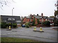
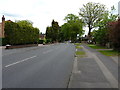
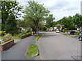
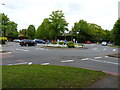
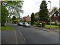
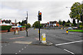
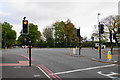
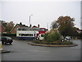
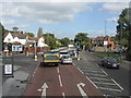
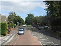
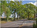
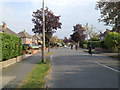
19 photos from this area
Area Information
Key information about the B91 1UB including its size, population, and administrative classification.
- Area Type
- Postcode
- Area Size
- 1.4 hectares
- Population
- 1591
- Population Density
- 5247 people/km²
House Prices in B91 1UB
36
Properties
£300,657
Average Sold Price
£20,000
Lowest Price
£534,500
Highest Price
Showing 36 properties
| Address | Type | Beds | Baths | Last Sale Price | Last Sale Date | |
|---|---|---|---|---|---|---|
| 46 St Gerards Road, Shirley, Solihull, B91 1UB | Semi-detached | 3 | 1 | £534,500 | Jul 2025 | |
| 48 St Gerards Road, Shirley, Solihull, B91 1UB | house | - | - | £378,000 | Feb 2024 | |
| 35 St Gerards Road, Shirley, Solihull, B91 1UB | house | - | - | £425,000 | Dec 2023 | |
| 34 St Gerards Road, Shirley, Solihull, B91 1UB | Semi-detached | 3 | 1 | £415,000 | Mar 2021 | |
| 58 St Gerards Road, Shirley, Solihull, B91 1UB | house | 3 | - | £387,000 | Nov 2020 | |
| 64 St Gerards Road, Shirley, Solihull, B91 1UB | house | 3 | - | £440,000 | Aug 2019 | |
| 50 St Gerards Road, Shirley, Solihull, B91 1UB | Semi-detached | 3 | 1 | £363,500 | Mar 2019 | |
| 54 St Gerards Road, Shirley, Solihull, B91 1UB | Semi-detached | 4 | 1 | £418,000 | Jul 2018 | |
| 31 St Gerards Road, Shirley, Solihull, B91 1UB | Detached | 3 | 1 | £373,000 | Jul 2016 | |
| 44 St Gerards Road, Shirley, Solihull, B91 1UB | house | 3 | - | £299,950 | Dec 2015 |
Page 1 of 4
Energy Efficiency in B91 1UB
Amenities
Schools
| Rank | School | Type | Entry gender | Ages |
|---|
Explore more schools in this area
Go to Schools tabDemographics
Household Size
Family (3-5 people)
most common
Accommodation Type
Houses
most common
Tenure
89
majority
Ethnic Group
White
most common
Religion
N/A
most common
Household Composition
N/A
most common
Age
47
median
Adults (30-64 years)
most common
Household Deprivation
N/A
with no deprivation
NS-SEC
52
in Lower managerial occupations
Explore more demographic insights in this area
Go to Demographics tabPlanning
Planning Constraints
- Flood RiskPremium
- Ramsar Wetland SitesPremium
- Area of Outstanding Natural BeautyPremium
- Protected Nature ReservePremium
- Protected WoodlandPremium