Area Overview for B91 1TU
Photos of B91 1TU
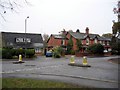
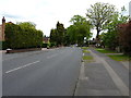
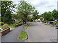
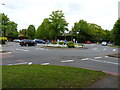

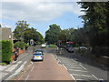
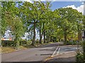
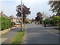
19 photos from this area
Area Information
Key information about the B91 1TU including its size, population, and administrative classification.
- Area Type
- Postcode
- Area Size
- 1.5 hectares
- Population
- 1591
- Population Density
- 5247 people/km²
House Prices in B91 1TU
34
Properties
£269,498
Average Sold Price
£65,000
Lowest Price
£508,000
Highest Price
Showing 34 properties
| Address | Type | Beds | Baths | Last Sale Price | Last Sale Date | |
|---|---|---|---|---|---|---|
| 17 Witherford Croft, Shirley, Solihull, B91 1TU | Semi-detached | 3 | 1 | £508,000 | Dec 2023 | |
| 41 Witherford Croft, Shirley, Solihull, B91 1TU | house | - | - | £435,000 | Jun 2023 | |
| 5 Witherford Croft, Shirley, Solihull, B91 1TU | house | - | - | £368,000 | Dec 2020 | |
| 23 Witherford Croft, Shirley, Solihull, B91 1TU | house | - | - | £425,000 | Feb 2020 | |
| 27 Witherford Croft, Shirley, Solihull, B91 1TU | Detached | 3 | 1 | £375,000 | Mar 2017 | |
| 33 Witherford Croft, Shirley, Solihull, B91 1TU | Semi-detached | 4 | - | £340,000 | Apr 2015 | |
| 21 Witherford Croft, Shirley, Solihull, B91 1TU | Semi-detached | 3 | - | £260,000 | Jan 2015 | |
| 6 Witherford Croft, Shirley, Solihull, B91 1TU | Semi-detached | 3 | - | £280,000 | Aug 2014 | |
| 11 Witherford Croft, Shirley, Solihull, B91 1TU | house | - | - | £271,000 | Sep 2013 | |
| 37 Witherford Croft, Shirley, Solihull, B91 1TU | house | 3 | - | £265,000 | Apr 2012 |
Page 1 of 4
Energy Efficiency in B91 1TU
Amenities
Schools
| Rank | School | Type | Entry gender | Ages |
|---|
Explore more schools in this area
Go to Schools tabDemographics
Household Size
Family (3-5 people)
most common
Accommodation Type
Houses
most common
Tenure
89
majority
Ethnic Group
White
most common
Religion
N/A
most common
Household Composition
N/A
most common
Age
47
median
Adults (30-64 years)
most common
Household Deprivation
N/A
with no deprivation
NS-SEC
52
in Lower managerial occupations
Explore more demographic insights in this area
Go to Demographics tabPlanning
Planning Constraints
- Flood RiskPremium
- Ramsar Wetland SitesPremium
- Area of Outstanding Natural BeautyPremium
- Protected Nature ReservePremium
- Protected WoodlandPremium