Area Overview for B91 1QA
Photos of B91 1QA
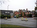
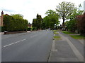
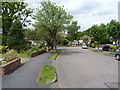
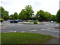
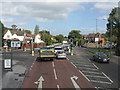
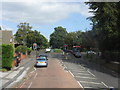
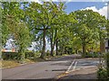
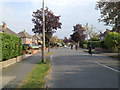
19 photos from this area
Area Information
Key information about the B91 1QA including its size, population, and administrative classification.
- Area Type
- Postcode
- Area Size
- 1.3 hectares
- Population
- 1591
- Population Density
- 5247 people/km²
House Prices in B91 1QA
16
Properties
£637,908
Average Sold Price
£390,000
Lowest Price
£1,062,500
Highest Price
Showing 16 properties
| Address | Type | Beds | Baths | Last Sale Price | Last Sale Date | |
|---|---|---|---|---|---|---|
| 25 Danford Lane, Solihull, B91 1QA | Detached | 4 | 3 | £1,062,500 | Dec 2023 | |
| 27 Danford Lane, Solihull, B91 1QA | house | - | - | £815,000 | Dec 2022 | |
| 9 Danford Lane, Solihull, B91 1QA | house | 4 | 2 | £830,000 | Mar 2022 | |
| 11 Danford Lane, Solihull, B91 1QA | Semi-detached | 4 | 2 | £532,500 | Nov 2021 | |
| 23 Danford Lane, Solihull, B91 1QA | Detached | 4 | 3 | £796,100 | Dec 2016 | |
| 21 Danford Lane, Solihull, B91 1QA | house | 5 | - | £580,000 | Nov 2016 | |
| 15 Danford Lane, Solihull, B91 1QA | Semi-detached | 4 | 3 | £530,000 | Sep 2014 | |
| 29 Danford Lane, Solihull, B91 1QA | Detached | 4 | 3 | £566,500 | Oct 2013 | |
| 17 Danford Lane, Solihull, B91 1QA | house | - | - | £517,300 | Jul 2012 | |
| 9A Danford Lane, Solihull, B91 1QA | house | 4 | - | £485,000 | Aug 2011 |
Page 1 of 2
Energy Efficiency in B91 1QA
Amenities
Schools
| Rank | School | Type | Entry gender | Ages |
|---|
Explore more schools in this area
Go to Schools tabDemographics
Household Size
Family (3-5 people)
most common
Accommodation Type
Houses
most common
Tenure
89
majority
Ethnic Group
White
most common
Religion
N/A
most common
Household Composition
N/A
most common
Age
47
median
Adults (30-64 years)
most common
Household Deprivation
N/A
with no deprivation
NS-SEC
52
in Lower managerial occupations
Explore more demographic insights in this area
Go to Demographics tabPlanning
Planning Constraints
- Flood RiskPremium
- Ramsar Wetland SitesPremium
- Area of Outstanding Natural BeautyPremium
- Protected Nature ReservePremium
- Protected WoodlandPremium