Area Overview for B91 1PJ
Photos of B91 1PJ
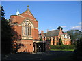
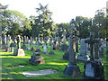
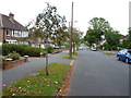
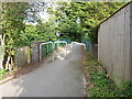
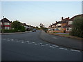
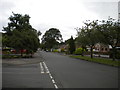
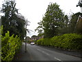
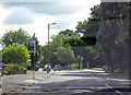
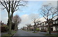
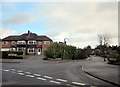
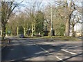
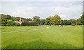
23 photos from this area
Area Information
Key information about the B91 1PJ including its size, population, and administrative classification.
- Area Type
- Postcode
- Area Size
- 2.0 hectares
- Population
- 1755
- Population Density
- 2138 people/km²
House Prices in B91 1PJ
24
Properties
£513,313
Average Sold Price
£129,000
Lowest Price
£1,600,000
Highest Price
Showing 24 properties
| Address | Type | Beds | Baths | Last Sale Price | Last Sale Date | |
|---|---|---|---|---|---|---|
| 86 Woodlea Drive, Solihull, B91 1PJ | house | 6 | 6 | £1,600,000 | Mar 2025 | |
| 66 Woodlea Drive, Solihull, B91 1PJ | house | - | - | £620,000 | Oct 2022 | |
| 78 Woodlea Drive, Solihull, B91 1PJ | house | - | - | £615,000 | Dec 2021 | |
| 61 Woodlea Drive, Solihull, B91 1PJ | Bungalow | - | - | £555,000 | Sep 2020 | |
| 84 Woodlea Drive, Solihull, B91 1PJ | house | - | - | £610,000 | May 2018 | |
| 72 Woodlea Drive, Solihull, B91 1PJ | Detached | 4 | 2 | £550,000 | Mar 2018 | |
| 82 Woodlea Drive, Solihull, B91 1PJ | Detached | 4 | 1 | £585,000 | Nov 2017 | |
| 60 Woodlea Drive, Solihull, B91 1PJ | Detached | 4 | 3 | £675,000 | Nov 2016 | |
| 62 Woodlea Drive, Solihull, B91 1PJ | Detached | 5 | 3 | £760,000 | May 2014 | |
| 69 Woodlea Drive, Solihull, B91 1PJ | Detached | 3 | 1 | £371,000 | Jan 2014 |
Page 1 of 3
Energy Efficiency in B91 1PJ
Amenities
Schools
| Rank | School | Type | Entry gender | Ages |
|---|
Explore more schools in this area
Go to Schools tabDemographics
Household Size
Family (3-5 people)
most common
Accommodation Type
Houses
most common
Tenure
96
majority
Ethnic Group
White
most common
Religion
N/A
most common
Household Composition
N/A
most common
Age
47
median
Adults (30-64 years)
most common
Household Deprivation
N/A
with no deprivation
NS-SEC
56
in Lower managerial occupations
Explore more demographic insights in this area
Go to Demographics tabPlanning
Planning Constraints
- Flood RiskPremium
- Ramsar Wetland SitesPremium
- Area of Outstanding Natural BeautyPremium
- Protected Nature ReservePremium
- Protected WoodlandPremium