Area Overview for B91 1LN
Photos of B91 1LN
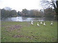
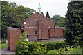
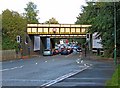
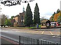
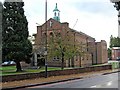
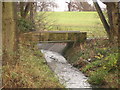
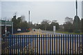
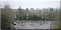
88 photos from this area
Area Information
Key information about the B91 1LN including its size, population, and administrative classification.
- Area Type
- Postcode
- Area Size
- 1.4 hectares
- Population
- 1687
- Population Density
- 2733 people/km²
House Prices in B91 1LN
16
Properties
£522,155
Average Sold Price
£341,500
Lowest Price
£655,000
Highest Price
Showing 16 properties
| Address | Type | Beds | Baths | Last Sale Price | Last Sale Date | |
|---|---|---|---|---|---|---|
| 36 Dorchester Road, Solihull, B91 1LN | Detached | 4 | 1 | £599,000 | Aug 2025 | |
| 34 Dorchester Road, Solihull, B91 1LN | Retail | 5 | 2 | £655,000 | Jul 2022 | |
| 57 Dorchester Road, Solihull, B91 1LN | house | - | - | £630,000 | Nov 2020 | |
| 47 Dorchester Road, Solihull, B91 1LN | Detached | 4 | 2 | £566,000 | Nov 2020 | |
| 42 Dorchester Road, Solihull, B91 1LN | house | - | - | £505,200 | Aug 2016 | |
| 53 Dorchester Road, Solihull, B91 1LN | house | - | - | £515,000 | Jul 2016 | |
| 44 Dorchester Road, Solihull, B91 1LN | house | - | - | £550,000 | May 2016 | |
| 38A Dorchester Road, Solihull, B91 1LN | house | - | - | £559,500 | Nov 2015 | |
| 51 Dorchester Road, Solihull, B91 1LN | house | - | - | £480,000 | May 2015 | |
| 61 Dorchester Road, Solihull, B91 1LN | house | - | - | £341,500 | Jul 2009 |
Page 1 of 2
Energy Efficiency in B91 1LN
Amenities
Schools
| Rank | School | Type | Entry gender | Ages |
|---|
Explore more schools in this area
Go to Schools tabDemographics
Household Size
Family (3-5 people)
most common
Accommodation Type
Houses
most common
Tenure
95
majority
Ethnic Group
White
most common
Religion
N/A
most common
Household Composition
N/A
most common
Age
47
median
Adults (30-64 years)
most common
Household Deprivation
N/A
with no deprivation
NS-SEC
58
in Lower managerial occupations
Explore more demographic insights in this area
Go to Demographics tabPlanning
Planning Constraints
- Flood RiskPremium
- Ramsar Wetland SitesPremium
- Area of Outstanding Natural BeautyPremium
- Protected Nature ReservePremium
- Protected WoodlandPremium