Area Overview for B91 1JB
Photos of B91 1JB
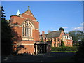
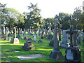
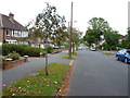
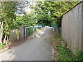
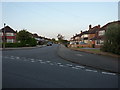
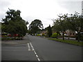
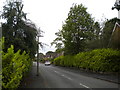
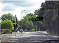
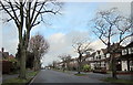
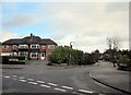
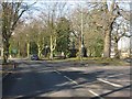
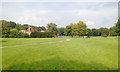
23 photos from this area
Area Information
Key information about the B91 1JB including its size, population, and administrative classification.
- Area Type
- Postcode
- Area Size
- 3.7 hectares
- Population
- 1596
- Population Density
- 2718 people/km²
House Prices in B91 1JB
29
Properties
£604,813
Average Sold Price
£165,000
Lowest Price
£1,400,000
Highest Price
Showing 29 properties
| Address | Type | Beds | Baths | Last Sale Price | Last Sale Date | |
|---|---|---|---|---|---|---|
| 38 Broad Oaks Road, Solihull, B91 1JB | Detached | 4 | 1 | £1,050,000 | Oct 2023 | |
| 46 Broad Oaks Road, Solihull, B91 1JB | Detached | 6 | 4 | £1,400,000 | Mar 2023 | |
| 20 Broad Oaks Road, Solihull, B91 1JB | Semi-detached | 5 | 1 | £700,000 | Jun 2022 | |
| 48 Broad Oaks Road, Solihull, B91 1JB | Detached | 6 | 6 | £730,000 | Dec 2020 | |
| 16 Broad Oaks Road, Solihull, B91 1JB | house | - | - | £670,000 | Oct 2020 | |
| 6 Broad Oaks Road, Solihull, B91 1JB | house | - | - | £1,050,000 | Jul 2020 | |
| 30 Broad Oaks Road, Solihull, B91 1JB | house | - | - | £495,000 | Jul 2016 | |
| 32 Broad Oaks Road, Solihull, B91 1JB | Semi-detached | 5 | - | £510,000 | Jul 2015 | |
| 44A Broad Oaks Road, Solihull, B91 1JB | Detached | 5 | - | £725,000 | Dec 2013 | |
| 36 Broad Oaks Road, Solihull, B91 1JB | Detached | 5 | 3 | £575,000 | Sep 2010 |
Page 1 of 3
Energy Efficiency in B91 1JB
Amenities
Schools
| Rank | School | Type | Entry gender | Ages |
|---|
Explore more schools in this area
Go to Schools tabDemographics
Household Size
Family (3-5 people)
most common
Accommodation Type
Houses
most common
Tenure
94
majority
Ethnic Group
White
most common
Religion
N/A
most common
Household Composition
N/A
most common
Age
47
median
Adults (30-64 years)
most common
Household Deprivation
N/A
with no deprivation
NS-SEC
55
in Lower managerial occupations
Explore more demographic insights in this area
Go to Demographics tabPlanning
Planning Constraints
- Flood RiskPremium
- Ramsar Wetland SitesPremium
- Area of Outstanding Natural BeautyPremium
- Protected Nature ReservePremium
- Protected WoodlandPremium