Area Overview for B90 3RW
Photos of B90 3RW
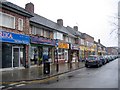
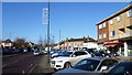
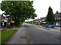
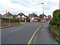
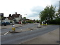
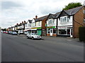
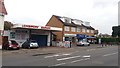
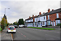


28 photos from this area
Area Information
Key information about the B90 3RW including its size, population, and administrative classification.
- Area Type
- Postcode
- Area Size
- 2.2 hectares
- Population
- 1746
- Population Density
- 3520 people/km²
House Prices in B90 3RW
49
Properties
£260,081
Average Sold Price
£61,500
Lowest Price
£475,000
Highest Price
Showing 49 properties
| Address | Type | Beds | Baths | Last Sale Price | Last Sale Date | |
|---|---|---|---|---|---|---|
| 135 Yoxall Road, Shirley, Solihull, B90 3RW | Semi-detached | 3 | 1 | £435,100 | Dec 2024 | |
| 130 Yoxall Road, Shirley, Solihull, B90 3RW | Semi-detached | 3 | 2 | £422,500 | Jul 2023 | |
| 162 Yoxall Road, Shirley, Solihull, B90 3RW | Semi-detached | 3 | 1 | £424,000 | May 2023 | |
| 166 Yoxall Road, Shirley, Solihull, B90 3RW | Semi-detached | 3 | 1 | £395,000 | Nov 2022 | |
| 120 Yoxall Road, Shirley, Solihull, B90 3RW | house | 3 | - | £355,000 | Feb 2022 | |
| 125 Yoxall Road, Shirley, Solihull, B90 3RW | house | - | - | £310,000 | Nov 2021 | |
| 150 Yoxall Road, Shirley, Solihull, B90 3RW | house | - | - | £475,000 | Oct 2021 | |
| 139 Yoxall Road, Shirley, Solihull, B90 3RW | Semi-detached | 3 | 1 | £360,000 | May 2020 | |
| 113 Yoxall Road, Shirley, Solihull, B90 3RW | Semi-detached | 4 | 1 | £275,000 | Nov 2019 | |
| 115 Yoxall Road, Shirley, Solihull, B90 3RW | house | 3 | - | £272,500 | Jul 2017 |
Page 1 of 5
Energy Efficiency in B90 3RW
Amenities
Schools
| Rank | School | Type | Entry gender | Ages |
|---|
Explore more schools in this area
Go to Schools tabDemographics
Household Size
Family (3-5 people)
most common
Accommodation Type
Houses
most common
Tenure
75
majority
Ethnic Group
White
most common
Religion
N/A
most common
Household Composition
N/A
most common
Age
47
median
Adults (30-64 years)
most common
Household Deprivation
N/A
with no deprivation
NS-SEC
39
in Lower managerial occupations
Explore more demographic insights in this area
Go to Demographics tabPlanning
Planning Constraints
- Flood RiskPremium
- Ramsar Wetland SitesPremium
- Area of Outstanding Natural BeautyPremium
- Protected Nature ReservePremium
- Protected WoodlandPremium