Area Overview for B90 3RT
Photos of B90 3RT
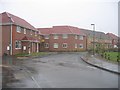
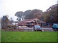
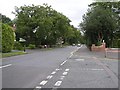
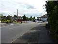
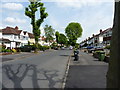
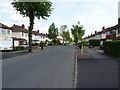
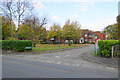
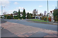


22 photos from this area
Area Information
Key information about the B90 3RT including its size, population, and administrative classification.
- Area Type
- Postcode
- Area Size
- 1.5 hectares
- Population
- 1927
- Population Density
- 4964 people/km²
House Prices in B90 3RT
27
Properties
£265,323
Average Sold Price
£94,950
Lowest Price
£573,500
Highest Price
Showing 27 properties
| Address | Type | Beds | Baths | Last Sale Price | Last Sale Date | |
|---|---|---|---|---|---|---|
| 25 Radbourne Road, Shirley, Solihull, B90 3RT | Detached | 4 | 2 | £573,500 | May 2025 | |
| 32 Radbourne Road, Shirley, Solihull, B90 3RT | house | - | - | £362,000 | Sep 2021 | |
| 22 Radbourne Road, Shirley, Solihull, B90 3RT | Semi-detached | 3 | 2 | £295,000 | Jun 2021 | |
| 42 Radbourne Road, Shirley, Solihull, B90 3RT | Detached | 3 | 1 | £337,500 | Nov 2020 | |
| 24 Radbourne Road, Shirley, Solihull, B90 3RT | Semi-detached | 3 | 1 | £330,000 | Aug 2018 | |
| 19 Radbourne Road, Shirley, Solihull, B90 3RT | Detached | 3 | 1 | £382,000 | Jul 2018 | |
| 36 Radbourne Road, Shirley, Solihull, B90 3RT | house | - | - | £270,000 | Jan 2017 | |
| 27 Radbourne Road, Shirley, Solihull, B90 3RT | house | - | - | £260,000 | Sep 2015 | |
| 11A Radbourne Road, Shirley, Solihull, B90 3RT | house | - | - | £306,000 | Apr 2014 | |
| 23 Radbourne Road, Shirley, Solihull, B90 3RT | house | - | - | £247,000 | May 2010 |
Page 1 of 3
Energy Efficiency in B90 3RT
Amenities
Schools
| Rank | School | Type | Entry gender | Ages |
|---|
Explore more schools in this area
Go to Schools tabDemographics
Household Size
Family (3-5 people)
most common
Accommodation Type
Houses
most common
Tenure
90
majority
Ethnic Group
White
most common
Religion
N/A
most common
Household Composition
N/A
most common
Age
47
median
Adults (30-64 years)
most common
Household Deprivation
N/A
with no deprivation
NS-SEC
45
in Lower managerial occupations
Explore more demographic insights in this area
Go to Demographics tabPlanning
Planning Constraints
- Flood RiskPremium
- Ramsar Wetland SitesPremium
- Area of Outstanding Natural BeautyPremium
- Protected Nature ReservePremium
- Protected WoodlandPremium