Area Overview for B90 3LH
Photos of B90 3LH
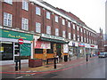
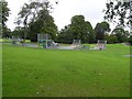
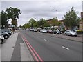
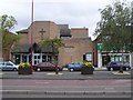

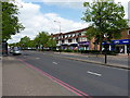
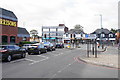

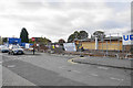
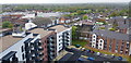
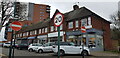
50 photos from this area
Area Information
Key information about the B90 3LH including its size, population, and administrative classification.
- Area Type
- Postcode
- Area Size
- 4851 m²
- Population
- 1771
- Population Density
- 5896 people/km²
House Prices in B90 3LH
9
Properties
£112,500
Average Sold Price
£25,000
Lowest Price
£249,999
Highest Price
Showing 9 properties
| Address | Type | Beds | Baths | Last Sale Price | Last Sale Date | |
|---|---|---|---|---|---|---|
| 5 Jacey Road, Shirley, Solihull, B90 3LH | Bungalow | 3 | 3 | £160,000 | Apr 2011 | |
| 7 Jacey Road, Shirley, Solihull, B90 3LH | Detached | 3 | 2 | £249,999 | Dec 2003 | |
| 11 Jacey Road, Shirley, Solihull, B90 3LH | Semi-detached | - | - | £115,000 | Mar 2001 | |
| 3 Jacey Road, Shirley, Solihull, B90 3LH | Semi-detached | - | - | £25,000 | Feb 1999 | |
| 6 Jacey Road, Shirley, Solihull, B90 3LH | Semi-detached | - | - | £65,000 | May 1997 | |
| 10 Jacey Road, Shirley, Solihull, B90 3LH | Semi-detached | - | - | £60,000 | Jul 1996 | |
| 8 Jacey Road, Shirley, Solihull, B90 3LH | Semi-detached | 3 | - | - | - | |
| 4 Jacey Road, Shirley, Solihull, B90 3LH | Semi-detached | - | - | - | - | |
| The Bears Nursery Ltd, Honey Pot House Day Nursery, 127 Stratford Road, Shirley, Solihull, B90 3LH | commercial | - | - | - | - |
Energy Efficiency in B90 3LH
Amenities
Schools
| Rank | School | Type | Entry gender | Ages |
|---|
Explore more schools in this area
Go to Schools tabDemographics
Household Size
Family (3-5 people)
most common
Accommodation Type
Houses
most common
Tenure
89
majority
Ethnic Group
White
most common
Religion
N/A
most common
Household Composition
N/A
most common
Age
47
median
Adults (30-64 years)
most common
Household Deprivation
N/A
with no deprivation
NS-SEC
47
in Lower managerial occupations
Explore more demographic insights in this area
Go to Demographics tabPlanning
Planning Constraints
- Flood RiskPremium
- Ramsar Wetland SitesPremium
- Area of Outstanding Natural BeautyPremium
- Protected Nature ReservePremium
- Protected WoodlandPremium