Area Overview for B90 3JD
Photos of B90 3JD
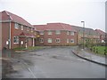
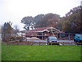
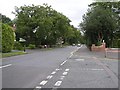
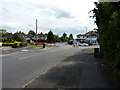
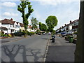
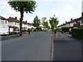
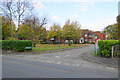
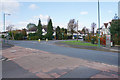
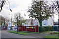
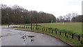


22 photos from this area
Area Information
Key information about the B90 3JD including its size, population, and administrative classification.
- Area Type
- Postcode
- Area Size
- 1.5 hectares
- Population
- 1771
- Population Density
- 5896 people/km²
House Prices in B90 3JD
25
Properties
£231,243
Average Sold Price
£72,000
Lowest Price
£425,000
Highest Price
Showing 25 properties
| Address | Type | Beds | Baths | Last Sale Price | Last Sale Date | |
|---|---|---|---|---|---|---|
| 53 Stanway Road, Shirley, Solihull, B90 3JD | house | - | - | £425,000 | Mar 2024 | |
| 15 Stanway Road, Shirley, Solihull, B90 3JD | Semi-detached | 3 | 2 | £315,000 | May 2021 | |
| 37 Stanway Road, Shirley, Solihull, B90 3JD | Semi-detached | 4 | 1 | £352,750 | Sep 2020 | |
| 55 Stanway Road, Shirley, Solihull, B90 3JD | house | - | - | £351,000 | Aug 2020 | |
| 51 Stanway Road, Shirley, Solihull, B90 3JD | house | 3 | - | £335,000 | Mar 2020 | |
| 45 Stanway Road, Shirley, Solihull, B90 3JD | Semi-detached | 3 | 1 | £348,500 | Jul 2019 | |
| 17 Stanway Road, Shirley, Solihull, B90 3JD | Semi-detached | 5 | 1 | £353,000 | May 2017 | |
| 27 Stanway Road, Shirley, Solihull, B90 3JD | house | - | - | £249,950 | Mar 2016 | |
| 9 Stanway Road, Shirley, Solihull, B90 3JD | Semi-detached | - | - | £163,000 | Jun 2013 | |
| 11 Stanway Road, Shirley, Solihull, B90 3JD | house | - | - | £263,265 | May 2013 |
Page 1 of 3
Energy Efficiency in B90 3JD
Amenities
Schools
| Rank | School | Type | Entry gender | Ages |
|---|
Explore more schools in this area
Go to Schools tabDemographics
Household Size
Family (3-5 people)
most common
Accommodation Type
Houses
most common
Tenure
89
majority
Ethnic Group
White
most common
Religion
N/A
most common
Household Composition
N/A
most common
Age
47
median
Adults (30-64 years)
most common
Household Deprivation
N/A
with no deprivation
NS-SEC
47
in Lower managerial occupations
Explore more demographic insights in this area
Go to Demographics tabPlanning
Planning Constraints
- Flood RiskPremium
- Ramsar Wetland SitesPremium
- Area of Outstanding Natural BeautyPremium
- Protected Nature ReservePremium
- Protected WoodlandPremium