Area Overview for B90 2RD
Photos of B90 2RD
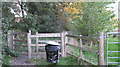
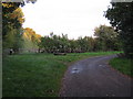
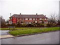
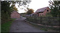
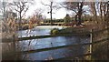


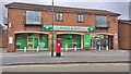
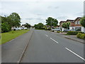
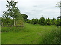
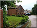
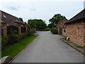
27 photos from this area
Area Information
Key information about the B90 2RD including its size, population, and administrative classification.
- Area Type
- Postcode
- Area Size
- 1.7 hectares
- Population
- 1529
- Population Density
- 2905 people/km²
House Prices in B90 2RD
17
Properties
£291,441
Average Sold Price
£110,000
Lowest Price
£555,000
Highest Price
Showing 17 properties
| Address | Type | Beds | Baths | Last Sale Price | Last Sale Date | |
|---|---|---|---|---|---|---|
| 6 Hollyhurst Grove, Shirley, Solihull, B90 2RD | house | - | - | £502,000 | Feb 2023 | |
| 15 Hollyhurst Grove, Shirley, Solihull, B90 2RD | Detached | 3 | 1 | £410,000 | Nov 2020 | |
| 18 Hollyhurst Grove, Shirley, Solihull, B90 2RD | house | - | - | £555,000 | Sep 2020 | |
| 14 Hollyhurst Grove, Shirley, Solihull, B90 2RD | Detached | 3 | 2 | £388,000 | Dec 2018 | |
| 8 Hollyhurst Grove, Shirley, Solihull, B90 2RD | Detached | 5 | 2 | £475,000 | Nov 2017 | |
| 1 Hollyhurst Grove, Shirley, Solihull, B90 2RD | house | - | - | £360,000 | Jan 2014 | |
| 7 Hollyhurst Grove, Shirley, Solihull, B90 2RD | Detached | - | - | £380,000 | Dec 2008 | |
| 5 Hollyhurst Grove, Shirley, Solihull, B90 2RD | Detached | - | - | £307,500 | Oct 2007 | |
| 3 Hollyhurst Grove, Shirley, Solihull, B90 2RD | Detached | - | - | £358,000 | Jun 2005 | |
| 11 Hollyhurst Grove, Shirley, Solihull, B90 2RD | Detached | - | - | £222,000 | Jan 2001 |
Page 1 of 2
Energy Efficiency in B90 2RD
Amenities
Schools
| Rank | School | Type | Entry gender | Ages |
|---|
Explore more schools in this area
Go to Schools tabDemographics
Household Size
Two person
most common
Accommodation Type
Houses
most common
Tenure
94
majority
Ethnic Group
White
most common
Religion
N/A
most common
Household Composition
N/A
most common
Age
47
median
Adults (30-64 years)
most common
Household Deprivation
N/A
with no deprivation
NS-SEC
45
in Lower managerial occupations
Explore more demographic insights in this area
Go to Demographics tabPlanning
Planning Constraints
- Flood RiskPremium
- Ramsar Wetland SitesPremium
- Area of Outstanding Natural BeautyPremium
- Protected Nature ReservePremium
- Protected WoodlandPremium