Area Overview for B90 2LL
Photos of B90 2LL

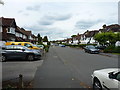
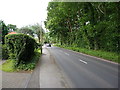
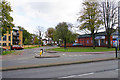
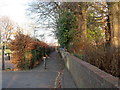

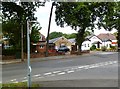

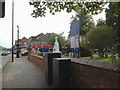


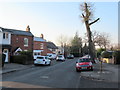
21 photos from this area
Area Information
Key information about the B90 2LL including its size, population, and administrative classification.
- Area Type
- Postcode
- Area Size
- 9100 m²
- Population
- 1666
- Population Density
- 4939 people/km²
House Prices in B90 2LL
10
Properties
£239,475
Average Sold Price
£108,000
Lowest Price
£356,500
Highest Price
Showing 10 properties
| Address | Type | Beds | Baths | Last Sale Price | Last Sale Date | |
|---|---|---|---|---|---|---|
| 211 Haslucks Green Road, Shirley, Solihull, B90 2LL | Semi-detached | 4 | 1 | £356,500 | Nov 2020 | |
| 203 Haslucks Green Road, Shirley, Solihull, B90 2LL | Semi-detached | - | - | £243,500 | Nov 2007 | |
| 201 Haslucks Green Road, Shirley, Solihull, B90 2LL | Semi-detached | - | - | £249,900 | Oct 2007 | |
| 215 Haslucks Green Road, Shirley, Solihull, B90 2LL | Semi-detached | - | - | £108,000 | Mar 2000 | |
| Flat At, Colebrook Inn, Haslucks Green Road, Shirley, Solihull, B90 2LL | Flat | - | - | - | - | |
| 205 Haslucks Green Road, Shirley, Solihull, B90 2LL | Semi-detached | - | - | - | - | |
| 209 Haslucks Green Road, Shirley, Solihull, B90 2LL | Semi-detached | - | - | - | - | |
| 213 Haslucks Green Road, Shirley, Solihull, B90 2LL | Semi-detached | - | - | - | - | |
| Haslucks Green Motor Company Ltd, 219 Haslucks Green Road, Shirley, Solihull, B90 2LL | commercial | - | - | - | - | |
| 207 Haslucks Green Road, Shirley, Solihull, B90 2LL | Semi-detached | - | - | - | - |
Energy Efficiency in B90 2LL
Amenities
Schools
| Rank | School | Type | Entry gender | Ages |
|---|
Explore more schools in this area
Go to Schools tabDemographics
Household Size
Family (3-5 people)
most common
Accommodation Type
Houses
most common
Tenure
87
majority
Ethnic Group
White
most common
Religion
N/A
most common
Household Composition
N/A
most common
Age
47
median
Adults (30-64 years)
most common
Household Deprivation
N/A
with no deprivation
NS-SEC
41
in Lower managerial occupations
Explore more demographic insights in this area
Go to Demographics tabPlanning
Planning Constraints
- Flood RiskPremium
- Ramsar Wetland SitesPremium
- Area of Outstanding Natural BeautyPremium
- Protected Nature ReservePremium
- Protected WoodlandPremium