Area Overview for B9 5UU
Photos of B9 5UU
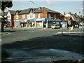
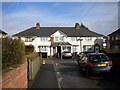
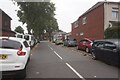
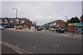
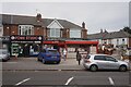
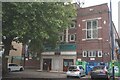
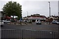
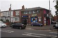

28 photos from this area
Area Information
Key information about the B9 5UU including its size, population, and administrative classification.
- Area Type
- Postcode
- Area Size
- 1.9 hectares
- Population
- 2325
- Population Density
- 12078 people/km²
House Prices in B9 5UU
51
Properties
£100,294
Average Sold Price
£31,500
Lowest Price
£220,000
Highest Price
Showing 51 properties
| Address | Type | Beds | Baths | Last Sale Price | Last Sale Date | |
|---|---|---|---|---|---|---|
| 2 Mead Crescent, Birmingham, B9 5UU | Terraced | 3 | 1 | £220,000 | Jun 2023 | |
| 53 Mead Crescent, Birmingham, B9 5UU | Terraced | 3 | 1 | £160,000 | May 2019 | |
| 42A Mead Crescent, Birmingham, B9 5UU | Maisonette | - | - | £81,500 | May 2019 | |
| 32 Mead Crescent, Birmingham, B9 5UU | house | - | - | £85,000 | Mar 2012 | |
| 12 Mead Crescent, Birmingham, B9 5UU | house | - | - | £118,000 | Jun 2011 | |
| 46 Mead Crescent, Birmingham, B9 5UU | house | 3 | - | £124,000 | Mar 2011 | |
| 33 Mead Crescent, Birmingham, B9 5UU | house | - | - | £133,000 | Oct 2007 | |
| 24 Mead Crescent, Birmingham, B9 5UU | house | - | - | £120,000 | Sep 2005 | |
| 13 Mead Crescent, Birmingham, B9 5UU | Terraced | - | - | £126,000 | Mar 2005 | |
| 20 Mead Crescent, Birmingham, B9 5UU | Semi-detached | 3 | 1 | £124,000 | Apr 2004 |
Page 1 of 6
Energy Efficiency in B9 5UU
Amenities
Schools
| Rank | School | Type | Entry gender | Ages |
|---|
Explore more schools in this area
Go to Schools tabDemographics
Household Size
Family (3-5 people)
most common
Accommodation Type
Houses
most common
Tenure
55
majority
Ethnic Group
asian_total
most common
Religion
N/A
most common
Household Composition
N/A
most common
Age
22
median
Adults (30-64 years)
most common
Household Deprivation
N/A
with no deprivation
NS-SEC
11
in Lower managerial occupations
Explore more demographic insights in this area
Go to Demographics tabPlanning
Planning Constraints
- Flood RiskPremium
- Ramsar Wetland SitesPremium
- Area of Outstanding Natural BeautyPremium
- Protected Nature ReservePremium
- Protected WoodlandPremium